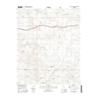
2014 Map of McLellan Reservoir
USGS Topo · Published 2014About this map
Kaibab National Forest encompasses much of this high-altitude landscape, where the legacy of early transcontinental travel remains visible. The transition from historical transit to modern infrastructure is marked by the presence of Old Rte "66" and the Frontage Rd (Old Rte 66), tracing the path of the original Mother Road as it cuts through the northern sections. An even older transportation artery is found in the Old R. R. Grade, indicating the historical importance of rail logistics in this arid region.
Find a feature on this map
82 named features on this map. Tap any name to fly to it.
Don’t see what you’re looking for? This feature index may not catch every label — zoom into the map to look around manually.
Map Details
Editions of this 2014 McLellan Reservoir Map
This is the sole edition of this map. No revisions or reprints were ever made.
Other maps of this area

1886 · Chino
USGS Topo · 1:250,000

1891 · Chino
USGS Topo · 1:250,000

1922 · Williams
USGS Topo · 1:125,000

1947 · Ash Fork
USGS Topo · 1:62,500

1948 · Ash Fork
USGS Topo · 1:63,360

1948 · Williams
USGS Topo · 1:250,000

1949 · Ash Fork
USGS Topo · 1:62,500

1954 · Williams
USGS Topo · 1:250,000

1956 · Williams
USGS Topo · 1:250,000

1960 · Williams
USGS Topo · 1:250,000