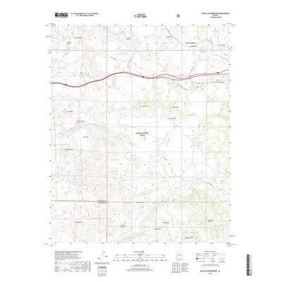
2018 Map of McLellan Reservoir
USGS Topo · Published 2018About this map
Kaibab National Forest dominates this high-altitude landscape in Northern Arizona, where the terrain is marked by significant cinder cones and volcanic features like Johnson Crater. The map reveals a sophisticated water management network essential for ranching and the railroad, featuring dozens of named "tanks" such as McLellan Siding Tank and Jesus Tank. Transportation history is layered across the topography, with an Old R.R. Grade and segments of Old Rte. "66" paralleling the modern infrastructure. The crossing of the Coconino Co Yavapai Co line provides a specific point of reference for local historians. Dramatic landforms like Flat Mesa and the deep incisions of Devil Dog Canyon define the drainage patterns that flow through Johnson Canyon toward the McLellan Reservoir.
Find a feature on this map
85 named features on this map. Tap any name to fly to it.
Don’t see what you’re looking for? This feature index may not catch every label — zoom into the map to look around manually.
Map Details
Editions of this 2018 McLellan Reservoir Map
This is the sole edition of this map. No revisions or reprints were ever made.
Other maps of this area

1886 · Chino
USGS Topo · 1:250,000

1891 · Chino
USGS Topo · 1:250,000

1922 · Williams
USGS Topo · 1:125,000

1947 · Ash Fork
USGS Topo · 1:62,500

1948 · Ash Fork
USGS Topo · 1:63,360

1948 · Williams
USGS Topo · 1:250,000

1949 · Ash Fork
USGS Topo · 1:62,500

1954 · Williams
USGS Topo · 1:250,000

1956 · Williams
USGS Topo · 1:250,000

1960 · Williams
USGS Topo · 1:250,000