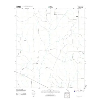
2012 Map of McLellan
USGS Topo · Published 2012About this map
Sellersville and McLellan anchor this northern Florida landscape, where rural life is defined by a dense network of creek branches and springs. The terrain is deeply inscribed with the names of local families and landmarks, from Simmons Crossing to Gum Landing. Notable genealogical resources include several burial grounds such as Sellersville Cem, Black Cem, and Concord Cem, which are scattered throughout the agricultural and timbered lands.
Find a feature on this map
63 named features on this map. Tap any name to fly to it.
Don’t see what you’re looking for? This feature index may not catch every label — zoom into the map to look around manually.
Map Details
Editions of this 2012 McLellan Map
This is the sole edition of this map. No revisions or reprints were ever made.
Other maps of this area

1943 · Jay
USGS Topo · 1:62,500

1948 · Munson
USGS Topo · 1:62,500

1950 · Munson
USGS Topo · 1:62,500

1953 · Andalusia
USGS Topo · 1:250,000

1957 · Andalusia
USGS Topo · 1:250,000

1957 · Pensacola
USGS Topo · 1:250,000

1959 · Pensacola
USGS Topo · 1:250,000

1959 · Brewton South
USGS Topo · 1:24,000

1960 · Pensacola
USGS Topo · 1:250,000

1960 · Brewton South
USGS Topo · 1:24,000