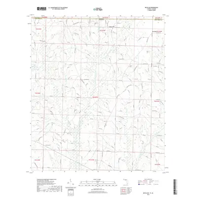
2018 Map of McLellan
USGS Topo · Published 2018About this map
The Alabama-Florida state line defines the northern boundary of this landscape, where the rural communities of Sellersville and McLellan anchor a network of local roads and family cemeteries. This region in Santa Rosa County is heavily shaped by its hydrology, with the East Fork Big Coldwater Creek and Yellow Water Cr carving through the terrain. Evidence of early navigation and travel persists in the label for Three Notch Trl, an important historic route that cuts across the timberlands.
Find a feature on this map
62 named features on this map. Tap any name to fly to it.
Don’t see what you’re looking for? This feature index may not catch every label — zoom into the map to look around manually.
Map Details
Editions of this 2018 McLellan Map
This is the sole edition of this map. No revisions or reprints were ever made.
Other maps of this area

1943 · Jay
USGS Topo · 1:62,500

1948 · Munson
USGS Topo · 1:62,500

1950 · Munson
USGS Topo · 1:62,500

1953 · Andalusia
USGS Topo · 1:250,000

1957 · Andalusia
USGS Topo · 1:250,000

1957 · Pensacola
USGS Topo · 1:250,000

1959 · Pensacola
USGS Topo · 1:250,000

1959 · Brewton South
USGS Topo · 1:24,000

1960 · Pensacola
USGS Topo · 1:250,000

1960 · Brewton South
USGS Topo · 1:24,000