
1957 Map of McMicken Dam
USGS Topo · Published 1958About this map
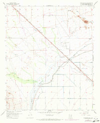
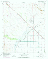
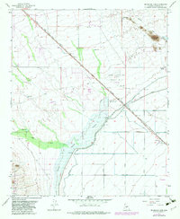
The Mc Micken Dam and its expansive Detention Basin dominate this mid-century landscape in Maricopa County. This critical infrastructure project, including the Mc Micken Dam Spillway 1354 and an Outlet Channel, was designed to manage the unpredictable runoff from desert watercourses like Trilby Wash and Padelford Wash. The area serves as a junction of transportation and military history, featuring the Atchison Topeka and Santa Fe railroad line cutting diagonally across the terrain toward Beardsley.
Find a feature on this map
26 named features on this map. Tap any name to fly to it.
Don’t see what you’re looking for? This feature index may not catch every label — zoom into the map to look around manually.
Map Details
Editions of this 1957 McMicken Dam Map
4 editions found
Other maps of this area

1954 · Phoenix
USGS Topo · 1:250,000

1957 · Phoenix
USGS Topo · 1:250,000

1957 · White Tank Mts. SE
USGS Topo · 1:24,000

1957 · White Tank Mts. NE
USGS Topo · 1:24,000

1957 · Calderwood Butte
USGS Topo · 1:24,000

1957 · El Mirage
USGS Topo · 1:24,000

1957 · Waddell
USGS Topo · 1:24,000

1957 · White Tank Mts.
USGS Topo · 1:62,500

1958 · Phoenix
USGS Topo · 1:250,000

1960 · Phoenix
USGS Topo · 1:250,000