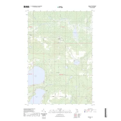
2023 Map of McMillan
USGS Topo · Published 2023About this map
McMillan serves as a central hub in this Luce County landscape, where the northern wetlands and the southern lakes meet. The terrain is defined by the headwaters and tributaries of the Tahquamenon River, including Syphon Creek and East Creek, which thread through the northern swamps. This area transitioned from a timber-heavy economy to a mix of small-town settlement and recreational use, visible in the clusters of homes at Laketon and the lakeside community of Helmer.
Find a feature on this map
62 named features on this map. Tap any name to fly to it.
Don’t see what you’re looking for? This feature index may not catch every label — zoom into the map to look around manually.
Map Details
Editions of this 2023 McMillan Map
This is the sole edition of this map. No revisions or reprints were ever made.
Other maps of this area

1931 · Gould City NE
USGS Topo · 1:31,680

1931 · Gould City NW
USGS Topo · 1:31,680

1931 · Seney SE
USGS Topo · 1:31,680

1931 · Blaney NE
USGS Topo · 1:31,680

1954 · Sault Sainte Marie
USGS Topo · 1:250,000

1956 · Sault Sainte Marie
USGS Topo · 1:250,000

1957 · Sault Sainte Marie
USGS Topo · 1:250,000

1958 · Sault Sainte Marie
USGS Topo · 1:250,000

1962 · Auger Lake
USGS Topo · 1:24,000
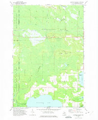
1972 · Hardwood Island
USGS Topo · 1:24,000