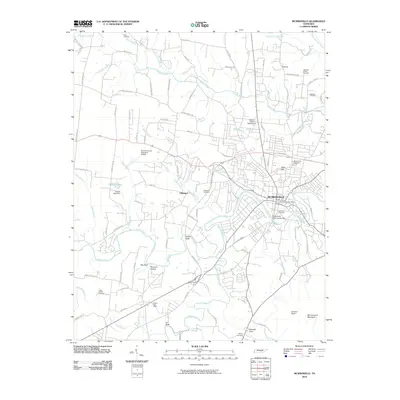
2010 Map of McMinnville
USGS Topo · Published 2010About this map
Mcminnville serves as the hub of this 2010 survey, situated at the confluence of several major waterways and transit routes in Middle Tennessee. The town is bounded by the winding course of the Barren Fork, where the Mcminnville Water Supply Dam and Riverside Cemetery characterize the riverbank landscape. The town's industrial and civic infrastructure is prominent, from the Mcminnville Post Office to the Warren County Fairgrounds in the north.
Find a feature on this map
104 named features on this map. Tap any name to fly to it.
Don’t see what you’re looking for? This feature index may not catch every label — zoom into the map to look around manually.
Map Details
Editions of this 2010 McMinnville Map
This is the sole edition of this map. No revisions or reprints were ever made.
Other maps of this area

1893 · Mc Minnville
USGS Topo · 1:125,000

1895 · Mc Minnville
USGS Topo · 1:125,000

1936 · Morrison
USGS Topo · 1:24,000

1942 · Statesville
USGS Topo · 1:100,000

1943 · Cookeville
USGS Topo · 1:100,000

1943 · Mc Minnville
USGS Topo · 1:100,000

1944 · Cookeville
USGS Topo · 1:100,000

1952 · Centertown
USGS Topo · 1:24,000

1953 · Chattanooga
USGS Topo · 1:250,000

1953 · Centertown
USGS Topo · 1:24,000