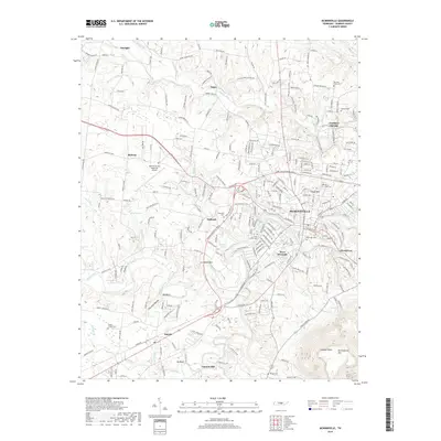
2019 Map of McMinnville
USGS Topo · Published 2019About this map
The city of McMinnville serves as the central hub of this Warren County landscape, situated where the Barren Fork and Charles Creek converge. The terrain is defined by the sharp rise of Ben Lomond Mtn and Lookout Point in the southeast, contrasting with the lower-lying settlements like West Riverside and Mount Leo. This survey provides a contemporary look at the rural-urban interface, showing the growth of industrial and residential corridors alongside older landmarks such as Lawson Mill and Ivy Bluff.
Find a feature on this map
250 named features on this map. Tap any name to fly to it.
Don’t see what you’re looking for? This feature index may not catch every label — zoom into the map to look around manually.
Map Details
Editions of this 2019 McMinnville Map
This is the sole edition of this map. No revisions or reprints were ever made.
Other maps of this area

1893 · Mc Minnville
USGS Topo · 1:125,000

1895 · Mc Minnville
USGS Topo · 1:125,000
1936 · Morrison
USGS Topo · 1:24,000

1942 · Statesville
USGS Topo · 1:100,000
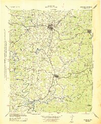
1943 · Cookeville
USGS Topo · 1:100,000
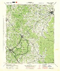
1943 · Mc Minnville
USGS Topo · 1:100,000
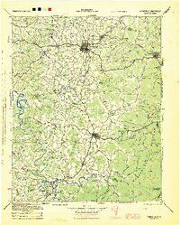
1944 · Cookeville
USGS Topo · 1:100,000
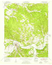
1952 · Centertown
USGS Topo · 1:24,000
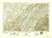
1953 · Chattanooga
USGS Topo · 1:250,000
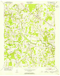
1953 · Centertown
USGS Topo · 1:24,000