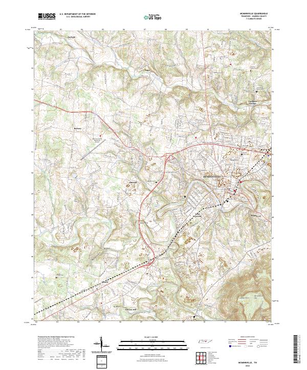
2022 Map of McMinnville
USGS Topo · Published 2022About this map
Mcminnville serves as the hub of this Tennessee landscape, where the Barren Fork and Hickory Creek converge. The topography shifts from the developed streets of West Riverside and Mount Leo to the steep elevations of Ben Lomond Mtn and Lookout Point in the southeast. This contemporary survey captures the distribution of legacy family names and community landmarks across the Highland Rim, including numerous burial grounds like Finger Chapel Cem and Riverside Cem.
Find a feature on this map
43 named features on this map. Tap any name to fly to it.
Don’t see what you’re looking for? This feature index may not catch every label — zoom into the map to look around manually.
Map Details
Editions of this 2022 McMinnville Map
This is the sole edition of this map. No revisions or reprints were ever made.
Other maps of this area

1893 · Mc Minnville
USGS Topo · 1:125,000

1895 · Mc Minnville
USGS Topo · 1:125,000

1936 · Morrison
USGS Topo · 1:24,000

1942 · Statesville
USGS Topo · 1:100,000

1943 · Cookeville
USGS Topo · 1:100,000

1943 · Mc Minnville
USGS Topo · 1:100,000

1944 · Cookeville
USGS Topo · 1:100,000

1952 · Centertown
USGS Topo · 1:24,000

1953 · Chattanooga
USGS Topo · 1:250,000

1953 · Centertown
USGS Topo · 1:24,000