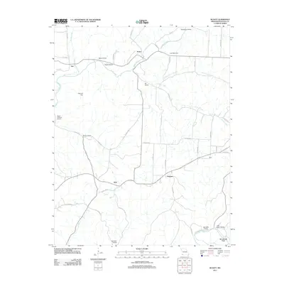
2012 Map of McNatt
USGS Topo · Published 2012About this map
Indian Creek and Elkhorn Creek carve a network of steep hollows through this portion of McDonald County, shaping a landscape defined by its narrow valleys and high ridges. The settlement of McNatt sits at a central confluence of these waterways, while smaller communities like Plainview, Moral, and Wylie anchor the surrounding rural highlands. The terrain is marked by descriptive place names such as Coal Mine Hill and Salt Lick Gap, which hint at the traditional resource-based activities of the region.
Find a feature on this map
45 named features on this map. Tap any name to fly to it.
Don’t see what you’re looking for? This feature index may not catch every label — zoom into the map to look around manually.
Map Details
Editions of this 2012 McNatt Map
This is the sole edition of this map. No revisions or reprints were ever made.
Other maps of this area

1916 · Neosho
USGS Topo · 1:62,500

1940 · Noel
USGS Topo · 1:62,500

1941 · Rocky Comfort
USGS Topo · 1:62,500

1943 · Ritchey
USGS Topo · 1:62,500

1943 · Noel
USGS Topo · 1:62,500

1943 · Rocky Comfort
USGS Topo · 1:62,500

1954 · Tulsa
USGS Topo · 1:250,000

1958 · Tulsa
USGS Topo · 1:250,000

1963 · Tulsa
USGS Topo · 1:250,000
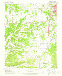
1972 · Neosho West
USGS Topo · 1:24,000