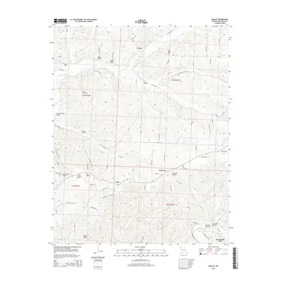
2015 Map of McNatt
USGS Topo · Published 2015About this map
McNatt and Plainview anchor this portion of McDonald County, where the Ozark landscape is defined by a complex network of deeply incised drainage systems. The map traces the winding course of Indian Creek and Big Sugar Creek, which have carved out numerous distinct basins including Hambrich Hollow and Big Cedar Hollow. Notable topographic landmarks such as Coal Mine Hill and Salt Lick Gap suggest a history of resource extraction and strategic movement through the terrain.
Find a feature on this map
82 named features on this map. Tap any name to fly to it.
Don’t see what you’re looking for? This feature index may not catch every label — zoom into the map to look around manually.
Map Details
Editions of this 2015 McNatt Map
This is the sole edition of this map. No revisions or reprints were ever made.
Other maps of this area

1916 · Neosho
USGS Topo · 1:62,500

1940 · Noel
USGS Topo · 1:62,500

1941 · Rocky Comfort
USGS Topo · 1:62,500

1943 · Ritchey
USGS Topo · 1:62,500

1943 · Noel
USGS Topo · 1:62,500

1943 · Rocky Comfort
USGS Topo · 1:62,500

1954 · Tulsa
USGS Topo · 1:250,000

1958 · Tulsa
USGS Topo · 1:250,000

1963 · Tulsa
USGS Topo · 1:250,000
1972 · Neosho West
USGS Topo · 1:24,000