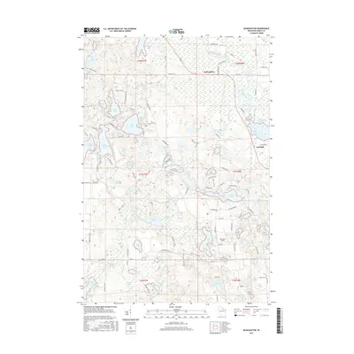
2015 Map of McNaughton
USGS Topo · Published 2015About this map
The Wisconsin River winds through this lake-rich pocket of the Northwoods, anchoring the small settlements of McNaughton and Newbold. This 2015 topography reveals a landscape dominated by glacial depressions, ranging from large basins like Long Lake and Alva Lake to smaller, isolated bodies such as Elna Lake and Maud Lake. The eastern edge of the quadrangle is defined by the Rhinelander Flowage and the upper reaches of Boom Lake, illustrating how the river was managed for power and industry downstream.
Find a feature on this map
133 named features on this map. Tap any name to fly to it.
Don’t see what you’re looking for? This feature index may not catch every label — zoom into the map to look around manually.
Map Details
Editions of this 2015 McNaughton Map
This is the sole edition of this map. No revisions or reprints were ever made.
Other maps of this area

1930 · Robbins
USGS Topo · 1:48,000

1938 · Minocqua
USGS Topo · 1:48,000

1938 · Robbins
USGS Topo · 1:48,000

1939 · Cassian
USGS Topo · 1:48,000

1940 · Rhinelander
USGS Topo · 1:48,000

1942 · Cassian
USGS Topo · 1:48,000

1945 · Robbins
USGS Topo · 1:48,000

1946 · Minocqua
USGS Topo · 1:48,000

1949 · Rhinelander
USGS Topo · 1:48,000

1949 · Minocqua
USGS Topo · 1:48,000