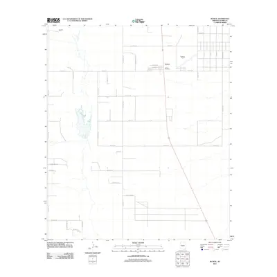
2011 Map of McNeal
USGS Topo · Published 2011About this map
McNeal serves as the central hub of this desert landscape in the Sulphur Springs Valley, defined by a rigid grid of rural roads and scattered ranching outposts. The township is anchored by the McNeal Post Office and the nearby Tribal Air Airport, reflecting a community integrated with modern aviation alongside its traditional agricultural roots. Significant local travel routes like N Central Hwy and W Davis Rd divide the territory into large parcels, many of which are identified by family or descriptive names such as the Four Bars Ranch in the northwest. The presence of numerous residential and access roads, including W Tumbleweed Ln and N Haught Rd, suggests a pattern of persistent rural settlement and land use. To the east, street names like Navajo Ave and Hopi Ave create a distinct residential block, contrasting with the wide-open spaces and ephemeral watercourses that characterize the surrounding Cochise County terrain.
Find a feature on this map
37 named features on this map. Tap any name to fly to it.
Don’t see what you’re looking for? This feature index may not catch every label — zoom into the map to look around manually.
Map Details
Editions of this 2011 McNeal Map
This is the sole edition of this map. No revisions or reprints were ever made.
Other maps of this area

1902 · Bisbee
USGS Topo · 1:62,500

1910 · Bisbee
USGS Topo · 1:62,500

1914 · Douglas
USGS Topo · 1:62,500

1916 · Pearce
USGS Topo · 1:125,000

1916 · Douglas
USGS Topo · 1:125,000

1919 · Douglas
USGS Topo · 1:125,000

1922 · Swisshelm
USGS Topo · 1:62,500

1925 · Douglas
USGS Topo · 1:62,500

1925 · Gleeson
USGS Topo · 1:62,500

1927 · Bisbee
USGS Topo · 1:62,500