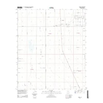
2014 Map of McNeal
USGS Topo · Published 2014About this map
The high desert community of McNeal serves as the central hub for this 2014 survey of Cochise County, Arizona. Located at the intersection of W McNeal St and the prominent N Central Hwy, the settlement is defined by a grid of rural residential roads with evocative names like W Silver Clouds Way and N Tequila Sunrise Rd. The landscape reflects a mix of small-town infrastructure and aviation history, notably featuring the Tribal Air Airport just east of the town center.
Find a feature on this map
62 named features on this map. Tap any name to fly to it.
Don’t see what you’re looking for? This feature index may not catch every label — zoom into the map to look around manually.
Map Details
Editions of this 2014 McNeal Map
This is the sole edition of this map. No revisions or reprints were ever made.
Other maps of this area

1902 · Bisbee
USGS Topo · 1:62,500

1910 · Bisbee
USGS Topo · 1:62,500

1914 · Douglas
USGS Topo · 1:62,500

1916 · Pearce
USGS Topo · 1:125,000

1916 · Douglas
USGS Topo · 1:125,000

1919 · Douglas
USGS Topo · 1:125,000

1922 · Swisshelm
USGS Topo · 1:62,500

1925 · Douglas
USGS Topo · 1:62,500

1925 · Gleeson
USGS Topo · 1:62,500

1927 · Bisbee
USGS Topo · 1:62,500