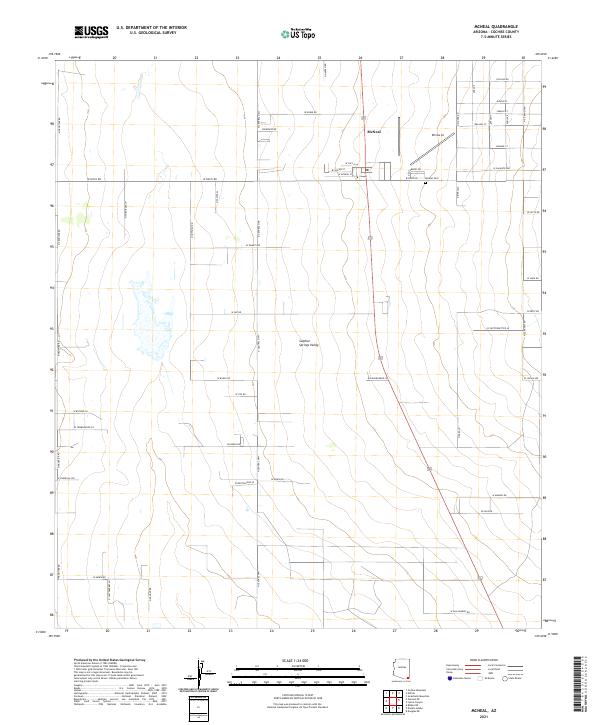
2021 Map of McNeal
USGS Topo · Published 2021About this map
McNeal serves as the central hub of this modern desert landscape, situated within the broad expanse of the Sulphur Springs Valley. The town's grid is defined by local thoroughfares such as W McNeal St and W Davis Rd, reflecting a planned agricultural and residential layout in the southeastern Arizona desert. To the east of the primary settlement, the Mcneal Cem and the Ethnos Air landing strip suggest a community with deep local roots and a necessary connection to aviation in this rural corridor. The landscape is dominated by the geometric precision of the Public Land Survey System, with the N Central Hwy acting as a primary north-south artery. This network of roads, including W Noble Rd and W Bagby Rd, illustrates how the valley floor has been subdivided for ranching and homesteading throughout the twentieth century.
Find a feature on this map
57 named features on this map. Tap any name to fly to it.
Don’t see what you’re looking for? This feature index may not catch every label — zoom into the map to look around manually.
Map Details
Editions of this 2021 McNeal Map
This is the sole edition of this map. No revisions or reprints were ever made.
Other maps of this area

1902 · Bisbee
USGS Topo · 1:62,500

1910 · Bisbee
USGS Topo · 1:62,500

1914 · Douglas
USGS Topo · 1:62,500

1916 · Pearce
USGS Topo · 1:125,000

1916 · Douglas
USGS Topo · 1:125,000

1919 · Douglas
USGS Topo · 1:125,000

1922 · Swisshelm
USGS Topo · 1:62,500

1925 · Douglas
USGS Topo · 1:62,500

1925 · Gleeson
USGS Topo · 1:62,500

1927 · Bisbee
USGS Topo · 1:62,500