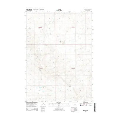
2015 Map of McRae Gap
USGS Topo · Published 2015About this map
The S Fork Powder River defines the drainage patterns of this high-plains landscape in Natrona County, where the topography transitions between prominent ridges and seasonal creek beds. Landmark elevations such as Wild Horse Butte and the Coalbank Hills provide significant navigational points within the arid terrain. The map captures a section of Wyoming dominated by ranching infrastructure, most notably centered around the Cow Camp Reservoir and the winding Cow Camp Rd. Evidence of the local water management and cattle-rearing economy is visible through the network of drainages including Cow Camp Cr, Landon Cr, and Stone Cabin Cr. Strategic passages like McRae Gap and Hoff Gap offer insight into how the natural landforms dictated travel and access throughout the 20th century across this sparsely populated region.
Find a feature on this map
16 named features on this map. Tap any name to fly to it.
Don’t see what you’re looking for? This feature index may not catch every label — zoom into the map to look around manually.
Map Details
Editions of this 2015 McRae Gap Map
This is the sole edition of this map. No revisions or reprints were ever made.
Other maps of this area

1952 · Ervay Basin SW
USGS Topo · 1:24,000

1952 · Arminto SW
USGS Topo · 1:24,000

1952 · Waltman
USGS Topo · 1:24,000

1952 · Hiland
USGS Topo · 1:24,000

1952 · Ervay Basin
USGS Topo · 1:24,000

1955 · Arminto
USGS Topo · 1:250,000

1955 · Casper
USGS Topo · 1:250,000

1958 · Casper
USGS Topo · 1:250,000

1958 · Arminto
USGS Topo · 1:250,000

1959 · Broad Mesa
USGS Topo · 1:24,000