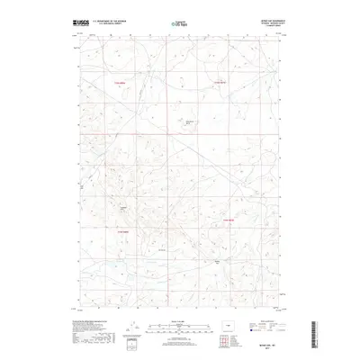
2017 Map of McRae Gap
USGS Topo · Published 2017About this map
Wild Horse Butte stands as a prominent landmark in this high-desert landscape of Natrona County, marking a terrain defined by dramatic breaks and seasonal drainages. The S Fork Powder River cuts through the northern sections, while the southern portion is characterized by the complex topography of the Coalbank Hills and the namesake McRae Gap.
Find a feature on this map
17 named features on this map. Tap any name to fly to it.
Don’t see what you’re looking for? This feature index may not catch every label — zoom into the map to look around manually.
Map Details
Editions of this 2017 McRae Gap Map
This is the sole edition of this map. No revisions or reprints were ever made.
Other maps of this area

1952 · Ervay Basin SW
USGS Topo · 1:24,000

1952 · Arminto SW
USGS Topo · 1:24,000

1952 · Waltman
USGS Topo · 1:24,000

1952 · Hiland
USGS Topo · 1:24,000

1952 · Ervay Basin
USGS Topo · 1:24,000

1955 · Arminto
USGS Topo · 1:250,000

1955 · Casper
USGS Topo · 1:250,000

1958 · Casper
USGS Topo · 1:250,000

1958 · Arminto
USGS Topo · 1:250,000

1959 · Broad Mesa
USGS Topo · 1:24,000