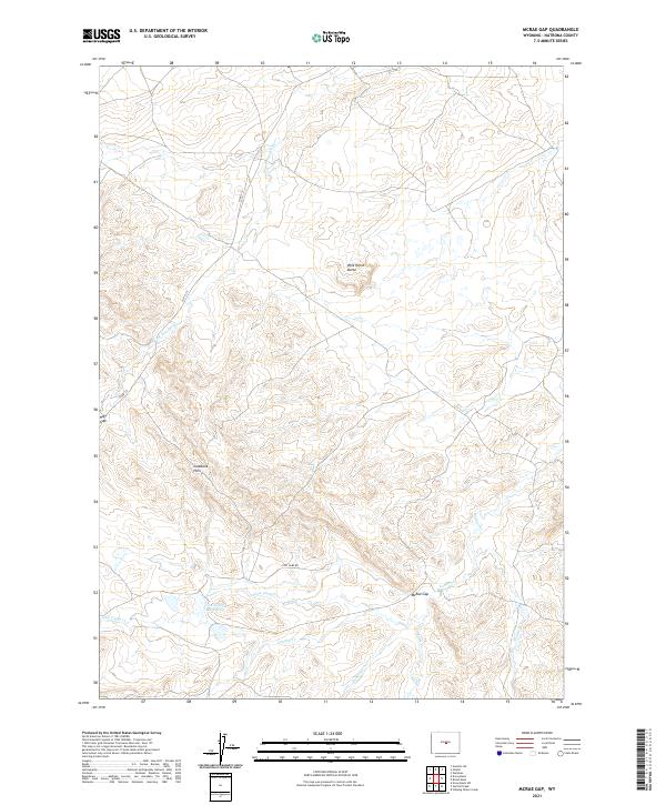
2021 Map of McRae Gap
USGS Topo · Published 2021About this map
S Fork Powder River drains a landscape of high plains and topographic breaks in this central Wyoming region. The drainage patterns are meticulously charted, showing the headwaters and seasonal flows of Landon Cr, Stone Cabin Cr, and Fales Cr as they cut through the terrain. Human presence is light and focused on ranching infrastructure, such as the Cow Camp Reservoir and the appropriately named Cow Camp RD winding through the hills. Notable topographic markers provide essential orientation for land management and local navigation, including the prominent Wild Horse Butte and the physical passage at McRae Gap. Further west, the Coalbank Hills and Hoff Gap delineate the rugged divide between the various creek basins, illustrating the remote and arid character of Natrona County.
Find a feature on this map
17 named features on this map. Tap any name to fly to it.
Don’t see what you’re looking for? This feature index may not catch every label — zoom into the map to look around manually.
Map Details
Editions of this 2021 McRae Gap Map
This is the sole edition of this map. No revisions or reprints were ever made.
Other maps of this area

1952 · Ervay Basin SW
USGS Topo · 1:24,000

1952 · Arminto SW
USGS Topo · 1:24,000

1952 · Waltman
USGS Topo · 1:24,000

1952 · Hiland
USGS Topo · 1:24,000

1952 · Ervay Basin
USGS Topo · 1:24,000

1955 · Arminto
USGS Topo · 1:250,000

1955 · Casper
USGS Topo · 1:250,000

1958 · Casper
USGS Topo · 1:250,000

1958 · Arminto
USGS Topo · 1:250,000

1959 · Broad Mesa
USGS Topo · 1:24,000