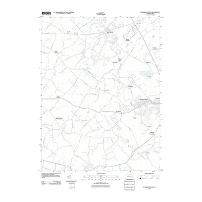
2010 Map of McSherrystown
USGS Topo · Published 2010About this map
McSherrystown and its surrounding rural communities are captured in this 2010 survey of south-central Pennsylvania. The landscape is defined by the winding course of the South Branch Conewago Creek and its many tributaries, including Plum Creek and Alloway Creek. Small settlements and historic crossroads like Irishtown, Edgegrove, and Brushtown are linked by a dense network of country lanes, many named for local families and early industry, such as Fleshman Mill Rd and Kohler School Rd.
Find a feature on this map
92 named features on this map. Tap any name to fly to it.
Don’t see what you’re looking for? This feature index may not catch every label — zoom into the map to look around manually.
Map Details
Editions of this 2010 McSherrystown Map
This is the sole edition of this map. No revisions or reprints were ever made.
Other maps of this area

1905 · Westminster
USGS Topo · 1:62,500

1908 · Gettysburg
USGS Topo · 1:62,500

1911 · Taneytown
USGS Topo · 1:62,500

1920 · Hanover
USGS Topo · 1:62,500

1922 · Hanover
USGS Topo · 1:62,500

1942 · Gettysburg
USGS Topo · 1:125,000

1944 · Manchester
USGS Topo · 1:31,680

1944 · Gettysburg
USGS Topo · 1:31,680

1944 · Mc Sherrystown
USGS Topo · 1:31,680

1944 · Littlestown
USGS Topo · 1:31,680