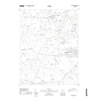
2019 Map of McSherrystown
USGS Topo · Published 2019About this map
McSherrystown and its neighboring boroughs of New Oxford and Littlestown anchor this detailed 2019 survey of the Adams County landscape. The region's deep religious roots are visible through an extensive network of parish infrastructure, including the Conewago Chapel Basilica Cem and the Saint Joseph Academy. This area of Pennsylvania reflects a long-established agricultural and small-industrial pattern, where crossroads like Cross-Keys and Irishtown connect larger hubs via historic routes like the York Rd and Baltimore Pike.
Find a feature on this map
47 named features on this map. Tap any name to fly to it.
Don’t see what you’re looking for? This feature index may not catch every label — zoom into the map to look around manually.
Map Details
Editions of this 2019 McSherrystown Map
This is the sole edition of this map. No revisions or reprints were ever made.
Other maps of this area

1905 · Westminster
USGS Topo · 1:62,500

1908 · Gettysburg
USGS Topo · 1:62,500

1911 · Taneytown
USGS Topo · 1:62,500

1920 · Hanover
USGS Topo · 1:62,500

1922 · Hanover
USGS Topo · 1:62,500

1942 · Gettysburg
USGS Topo · 1:125,000

1944 · Manchester
USGS Topo · 1:31,680

1944 · Gettysburg
USGS Topo · 1:31,680

1944 · Mc Sherrystown
USGS Topo · 1:31,680

1944 · Littlestown
USGS Topo · 1:31,680