2023 Map of McSherrystown
USGS Topo · Published 2023About this map
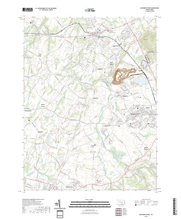
McSherrystown and its surrounding boroughs are defined by a landscape of rolling terrain and early Catholic heritage in Adams County. The historic Conewago Chapel Basilica serves as a religious anchor near Edgegrove, while the borough of McSherrystown itself shows a dense street grid featuring the Saint Joseph Academy and Annunciation of Blessed Virgin Mary church. To the north, New Oxford sits at the junction of Lincoln Way E and Lincoln Way W, surrounded by numerous family and denominational burial grounds such as the Northern Low Dutch Cem and the Immaculate Conception Catholic Church Cem. The geography is shaped by the South Branch Conewago Creek, which feeds into Kaiser Lake and passes landmarks like Mount Misery. This 2023 survey documents the enduring settlement patterns of the region, from the rail heritage at Berlin Junction to the southern hub of Littlestown along the Hanover Pike.
Find a feature on this map
46 named features on this map. Tap any name to fly to it.
Don’t see what you’re looking for? This feature index may not catch every label — zoom into the map to look around manually.
Map Details
Editions of this 2023 McSherrystown Map
This is the sole edition of this map. No revisions or reprints were ever made.
Historical Maps of Irishtown Through Time
1 maps found