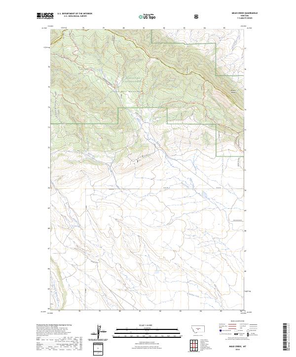
2024 Map of Mead Creek
USGS Topo · Published 2024About this map
Lewis & Clark National Forest encompasses the northern high ground of this Montana landscape, where the Little Belt Mountains meet the rolling transition into the Judith Basin. The terrain is defined by a series of south-reaching drainage systems, including the namesake Mead Creek and Roberts Creek, which carve through the high ridges. Along the southern plains, the Gaugler Ranch and roads like Coyote Ln represent the long-standing ranching heritage of the area. A network of backcountry routes, such as the Sawmill Ridge Jeep Trl and Divide Jeep Trl, crisscross the ridges and descend into Sawmill Canyon, providing evidence of modern land use and recreational access within the national forest. The map also captures the boundary between Judith Basin and Wheatland counties as it skirts Stevens Butte.
Find a feature on this map
27 named features on this map. Tap any name to fly to it.
Don’t see what you’re looking for? This feature index may not catch every label — zoom into the map to look around manually.
Map Details
Editions of this 2024 Mead Creek Map
This is the sole edition of this map. No revisions or reprints were ever made.
Other maps of this area

1886 · Little Belt Mts.
USGS Topo · 1:250,000

1889 · Big Snowy Mountain
USGS Topo · 1:250,000

1893 · Big Snowy Mountain
USGS Topo · 1:250,000

1894 · Little Belt Mts.
USGS Topo · 1:250,000

1897 · Little Belt Mts.
USGS Topo · 1:250,000

1898 · Little Belt Mts.
USGS Topo · 1:250,000

1902 · Little Belt Mts.
USGS Topo · 1:250,000

1948 · White Sulphur Springs
USGS Topo · 1:250,000

1954 · Roundup
USGS Topo · 1:250,000

1958 · Roundup
USGS Topo · 1:250,000