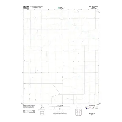
2010 Map of Meade NW
USGS Topo · Published 2010About this map
Crooked Creek meanders through the northern portion of this High Plains landscape, providing a rare natural break in the otherwise rigid geometry of the Kansas section lines. The map reveals the precise layout of a rural agricultural community organized around an extensive network of secondary roads, including J J Rd, K K Rd, and 13 Rd. These corridors facilitate the movement of local industry and connect isolated homesteads across the expanse of Gray County. The placement of farmstead structures along routes like C Rd and D Rd reflects a long-standing settlement pattern common to the region's ranching and wheat farming heritage. While the terrain is largely defined by the regularity of the survey grid, the drainage of the creek provides the primary topographical variation in this quiet corner of the state.
Find a feature on this map
14 named features on this map. Tap any name to fly to it.
Don’t see what you’re looking for? This feature index may not catch every label — zoom into the map to look around manually.
Map Details
Editions of this 2010 Meade NW Map
This is the sole edition of this map. No revisions or reprints were ever made.
Other maps of this area

1892 · Meade
USGS Topo · 1:125,000

1892 · Dodge
USGS Topo · 1:125,000

1896 · Garden
USGS Topo · 1:125,000

1955 · Dodge City
USGS Topo · 1:250,000

1958 · Dodge City
USGS Topo · 1:250,000

1959 · Dodge City
USGS Topo · 1:250,000

1963 · Plains
USGS Topo · 1:24,000

1963 · Meade
USGS Topo · 1:24,000

1963 · Missler
USGS Topo · 1:24,000

1967 · Plains NE
USGS Topo · 1:24,000