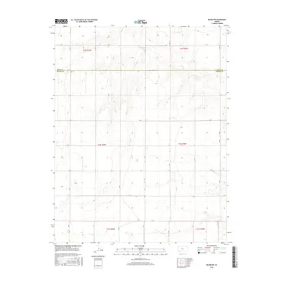
2016 Map of Meade NW
USGS Topo · Published 2016About this map
Crooked Cr meanders through the northern reaches of this High Plains landscape, following a drainage pattern that breaks the geometric regularity of the region's section-line roads. The border between Gray Co and Meade Co runs east-west across the upper third of the quadrangle, serving as a primary administrative division in an area dominated by large-scale agricultural blocks. This 2016 survey illustrates the persistent grid of the Public Land Survey System, with townships like t30s r29w and t30s r28w defining the territory. The local transportation network is composed of named rural routes such as JJ Rd, A Rd, and 13 Rd, which provide access to scattered farmsteads and agricultural facilities that anchor the rural economy in this part of Kansas.
Find a feature on this map
27 named features on this map. Tap any name to fly to it.
Don’t see what you’re looking for? This feature index may not catch every label — zoom into the map to look around manually.
Map Details
Editions of this 2016 Meade NW Map
This is the sole edition of this map. No revisions or reprints were ever made.
Other maps of this area

1892 · Meade
USGS Topo · 1:125,000

1892 · Dodge
USGS Topo · 1:125,000

1896 · Garden
USGS Topo · 1:125,000

1955 · Dodge City
USGS Topo · 1:250,000

1958 · Dodge City
USGS Topo · 1:250,000

1959 · Dodge City
USGS Topo · 1:250,000

1963 · Plains
USGS Topo · 1:24,000

1963 · Meade
USGS Topo · 1:24,000

1963 · Missler
USGS Topo · 1:24,000

1967 · Plains NE
USGS Topo · 1:24,000