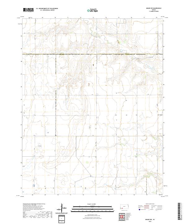
2022 Map of Meade NW
USGS Topo · Published 2022About this map
The winding course of Crooked Cr defines the landscape of this high plains region on the border of Gray Co and Meade Co in southwestern Kansas. This 2022 survey illustrates the methodical township and range grid, where section lines are marked by a regular network of named local thoroughfares such as A Rd, C Rd, and G Rd. The terrain is characterized by the subtle drainage patterns of the creek and its tributaries, which break the geometric precision of the surrounding agricultural lands. Researchers and genealogists can use the precise grid coordinates, including t30s r28w and t29s r29w, to locate specific historic land parcels and family homesteads within this quintessential prairie landscape.
Find a feature on this map
16 named features on this map. Tap any name to fly to it.
Don’t see what you’re looking for? This feature index may not catch every label — zoom into the map to look around manually.
Map Details
Editions of this 2022 Meade NW Map
This is the sole edition of this map. No revisions or reprints were ever made.
Other maps of this area

1892 · Meade
USGS Topo · 1:125,000

1892 · Dodge
USGS Topo · 1:125,000

1896 · Garden
USGS Topo · 1:125,000

1955 · Dodge City
USGS Topo · 1:250,000

1958 · Dodge City
USGS Topo · 1:250,000

1959 · Dodge City
USGS Topo · 1:250,000

1963 · Plains
USGS Topo · 1:24,000

1963 · Meade
USGS Topo · 1:24,000

1963 · Missler
USGS Topo · 1:24,000

1967 · Plains NE
USGS Topo · 1:24,000