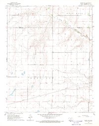
1968 Map of Meade NW
USGS Topo · Published 1969About this map
Crooked Creek meanders through the high plains of Southwest Kansas in this late 1960s survey, marking a distinct break in the otherwise steady topography. The map detail centers on the boundary between Gray Co and Meade Co, a landscape defined by its agricultural and energy infrastructure. The townships of Montezuma, West Hess, and Meridilla are partitioned by a network of unimproved roads and light-duty tracks, illustrating the rural character of the region during this era.
Find a feature on this map
8 named features on this map. Tap any name to fly to it.
Don’t see what you’re looking for? This feature index may not catch every label — zoom into the map to look around manually.
Map Details
Editions of this 1968 Meade NW Map
This is the sole edition of this map. No revisions or reprints were ever made.
Other maps of this area

1892 · Meade
USGS Topo · 1:125,000

1892 · Dodge
USGS Topo · 1:125,000

1896 · Garden
USGS Topo · 1:125,000

1955 · Dodge City
USGS Topo · 1:250,000

1958 · Dodge City
USGS Topo · 1:250,000

1959 · Dodge City
USGS Topo · 1:250,000

1963 · Plains
USGS Topo · 1:24,000

1963 · Meade
USGS Topo · 1:24,000

1963 · Missler
USGS Topo · 1:24,000

1967 · Plains NE
USGS Topo · 1:24,000