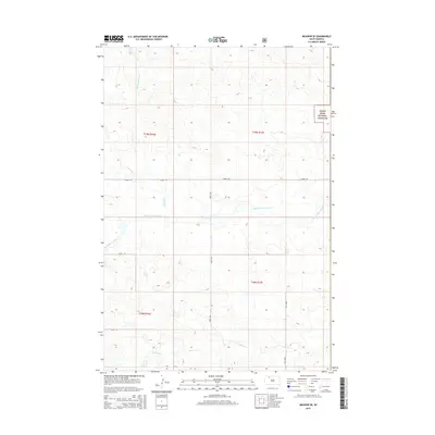
2015 Map of Meadow SE
USGS Topo · Published 2015About this map
The Grand River National Grassland encompasses a significant portion of this prairie landscape, where the rolling plains are dissected by a network of drainage creeks. These seasonal watercourses, including Cottonwood Creek and Whitney Creek in the north and Darling Creek to the south, define the topography of the Rock Creek District. The map reveals a highly structured section-line road grid typical of the Great Plains, anchored by Athboy Rd and numerical routes like 198th Ave and 200th Ave. Black Horse Butte Creek winds through the center of the sheet, providing a primary geographic reference for the open rangeland. This survey illustrates the modern intersection of federal land management and rural ranching infrastructure in western South Dakota.
Find a feature on this map
14 named features on this map. Tap any name to fly to it.
Don’t see what you’re looking for? This feature index may not catch every label — zoom into the map to look around manually.
Map Details
Editions of this 2015 Meadow SE Map
This is the sole edition of this map. No revisions or reprints were ever made.
Other maps of this area

1953 · McIntosh
USGS Topo · 1:250,000

1954 · Lemmon
USGS Topo · 1:250,000

1957 · Lemmon
USGS Topo · 1:250,000

1958 · McIntosh
USGS Topo · 1:250,000

1972 · Black Horse Butte NW
USGS Topo · 1:24,000

1972 · Black Horse Butte
USGS Topo · 1:24,000

1980 · McIntosh
USGS Topo · 1:100,000

1982 · Glad Valley NW
USGS Topo · 1:24,000

1983 · Coal Springs
USGS Topo · 1:24,000

1983 · Meadow NW
USGS Topo · 1:24,000