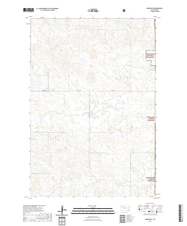
2021 Map of Meadow SE
USGS Topo · Published 2021About this map
Grand River National Grassland segments define this portion of Perkins County, where the open rangeland is shaped by a network of seasonal drainages. The local geography is primarily defined by the courses of Black Horse Butte Cr, Cottonwood Cr, and Whitney Cr, which carve through the high plains. In the southern reach, Darling Cr meanders across the sections, illustrating the typical hydrology of the western Dakotas. A sparse but functional grid of section-line roads, including Athboy Rd and 128th St, provides access across these expansive townships. This 2021 survey shows the enduring structure of the Public Land Survey System in an area where large-scale grazing remains the primary land use within the national grassland boundaries.
Find a feature on this map
14 named features on this map. Tap any name to fly to it.
Don’t see what you’re looking for? This feature index may not catch every label — zoom into the map to look around manually.
Map Details
Editions of this 2021 Meadow SE Map
This is the sole edition of this map. No revisions or reprints were ever made.
Other maps of this area

1953 · McIntosh
USGS Topo · 1:250,000

1954 · Lemmon
USGS Topo · 1:250,000

1957 · Lemmon
USGS Topo · 1:250,000

1958 · McIntosh
USGS Topo · 1:250,000

1972 · Black Horse Butte NW
USGS Topo · 1:24,000

1972 · Black Horse Butte
USGS Topo · 1:24,000

1980 · McIntosh
USGS Topo · 1:100,000

1982 · Glad Valley NW
USGS Topo · 1:24,000

1983 · Coal Springs
USGS Topo · 1:24,000

1983 · Meadow NW
USGS Topo · 1:24,000