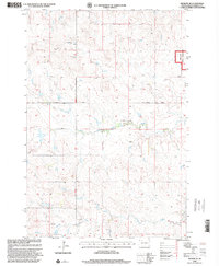
1998 Map of Meadow SE
USGS Topo · Published 2001About this map
Grand River National Grassland dominates the northeastern corner of this Perkins County landscape, which was updated by the Forest Service in the late 1990s. The terrain is defined by the winding course of Black Horse Butte Creek, which flows eastward toward the grassland. Further south, Darling Creek cuts through the prairie, providing a drainage network for the surrounding rangeland. Several scattered windmills dot the sections, indicating the importance of cattle ranching and groundwater access in this open country. The orientation of the land follows the Fourth Guide Meridian East, with local travel facilitated by the east-west corridor of Athboy Road. The map also captures several local township divisions including Whitney and Clark, reflecting the original cadastral survey framework of the Dakotas.
Find a feature on this map
9 named features on this map. Tap any name to fly to it.
Don’t see what you’re looking for? This feature index may not catch every label — zoom into the map to look around manually.
Map Details
Editions of this 1998 Meadow SE Map
This is the sole edition of this map. No revisions or reprints were ever made.
Other maps of this area

1953 · McIntosh
USGS Topo · 1:250,000

1954 · Lemmon
USGS Topo · 1:250,000

1957 · Lemmon
USGS Topo · 1:250,000

1958 · McIntosh
USGS Topo · 1:250,000

1972 · Black Horse Butte NW
USGS Topo · 1:24,000

1972 · Black Horse Butte
USGS Topo · 1:24,000

1980 · McIntosh
USGS Topo · 1:100,000

1982 · Glad Valley NW
USGS Topo · 1:24,000

1983 · Coal Springs
USGS Topo · 1:24,000

1983 · Meadow NW
USGS Topo · 1:24,000