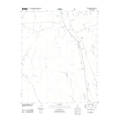
2012 Map of Meath Spring
USGS Topo · Published 2012About this map
The rail-oriented landscape of Yavapai County is captured here in the early 21st century, centered on a series of historical rail stops and sidings. Meath Siding, Prairie Siding, Wood Spur Siding, and Rok Siding trace a transit corridor that follows the natural breaks in the topography. This infrastructure was essential for navigating the complex drainage systems of Meath Wash and Wagon Tire Wash, where seasonal water management was critical for both cattle and locomotives.
Find a feature on this map
31 named features on this map. Tap any name to fly to it.
Don’t see what you’re looking for? This feature index may not catch every label — zoom into the map to look around manually.
Map Details
Editions of this 2012 Meath Spring Map
This is the sole edition of this map. No revisions or reprints were ever made.
Other maps of this area

1886 · Chino
USGS Topo · 1:250,000

1887 · Prescott
USGS Topo · 1:250,000

1891 · Chino
USGS Topo · 1:250,000

1892 · Prescott
USGS Topo · 1:250,000

1905 · Jerome
USGS Topo · 1:125,000

1922 · Williams
USGS Topo · 1:125,000

1947 · Ash Fork
USGS Topo · 1:62,500

1947 · Simmons
USGS Topo · 1:62,500

1947 · Picacho Butte
USGS Topo · 1:62,500

1947 · Paulden
USGS Topo · 1:62,500