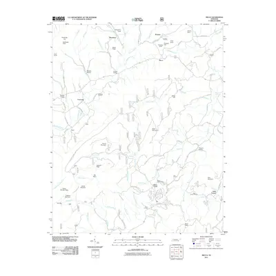
2011 Map of Mecca
USGS Topo · Published 2011About this map
Conasauga and Macedonia anchor this portrait of the Tennessee landscape within the Cherokee National Forest. The terrain is defined by a series of significant heights, including Black Mountain, Locust Mountain, and Round Mountain, which divide the various watersheds of Conasauga Creek and Bullet Creek. Genealogists will find a wealth of burial sites preserved here, from the Cain Cemetery near the center of the sheet to the Holly Springs Cemetery and Hamby Cemetery in the southern reaches. Notable landmarks such as Bullet Creek Falls and the White Cliff Springs area suggest the historical significance of these mountain waters. The map details a complex network of local routes like Lick Creek Rd and Wesley Chapel Rd, connecting smaller settlements like Mecca, Ivy, and Holly Springs across a landscape of hollows and ridges.
Find a feature on this map
99 named features on this map. Tap any name to fly to it.
Don’t see what you’re looking for? This feature index may not catch every label — zoom into the map to look around manually.
Map Details
Editions of this 2011 Mecca Map
This is the sole edition of this map. No revisions or reprints were ever made.
Other maps of this area

1886 · Cleveland
USGS Topo · 1:125,000

1892 · Cleveland
USGS Topo · 1:125,000

1893 · Murphy
USGS Topo · 1:125,000

1895 · Cleveland
USGS Topo · 1:125,000

1901 · Cleveland
USGS Topo · 1:125,000

1914 · Murphy
USGS Topo · 1:125,000

1934 · Mount Vernon
USGS Topo · 1:24,000

1934 · Mecca
USGS Topo · 1:24,000

1934 · Englewood
USGS Topo · 1:24,000

1934 · Tellico Plains
USGS Topo · 1:24,000