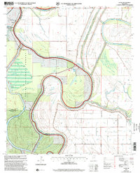
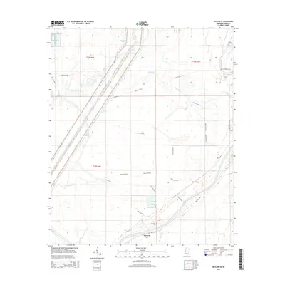
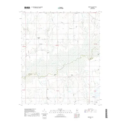
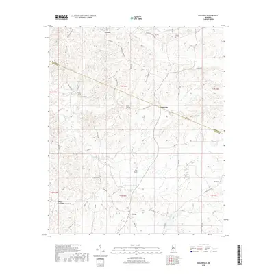
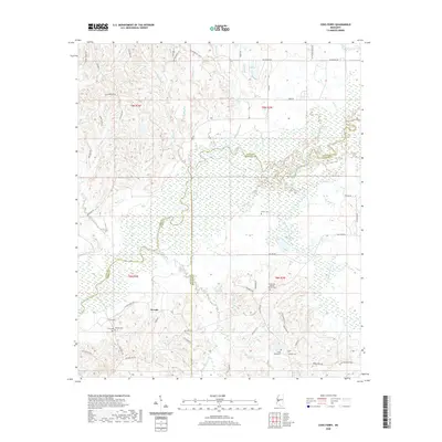
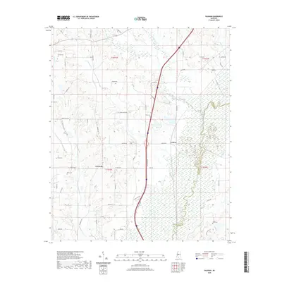
1940 Map of Mechanicsburg
USGS Topo · Published 1960About this map
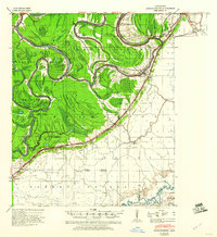
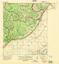
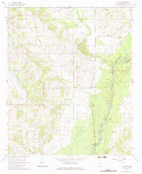
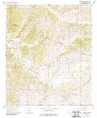
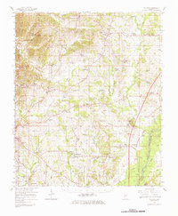
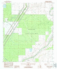
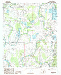
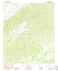
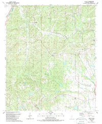
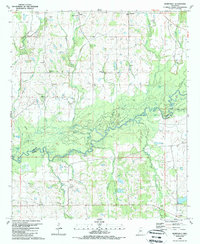
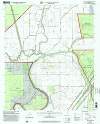
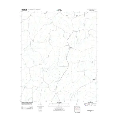
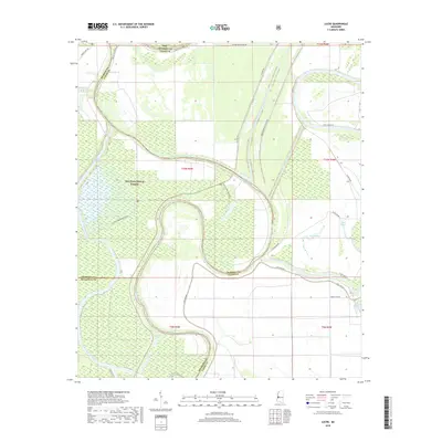
Satartia and Mechanicsburg anchor this 1940s landscape where the alluvial delta meets the rising eastern bluffs. The Yazoo River dominates the center of the sheet with its tight oxbows and secondary waterways like Potato Hill Bayou and Deep Slough. This topographic study by the Mississippi River Commission documents the complex flood control efforts of the era, noting levee mile posts and revetments along the river banks. A prominent escarpment separates the low-lying wetlands of Yazoo County from the higher elevations to the east. Several small communities, including Germania, Phoenix, and Eldorado, are shown along the transition between these two distinct terrains. The map provides a look at the early 20th-century road network and the political boundaries where Sharkey, Issaquena, Warren, and Hinds counties meet.
Find a feature on this map
31 named features on this map. Tap any name to fly to it.
Don’t see what you’re looking for? This feature index may not catch every label — zoom into the map to look around manually.
Map Details
Editions of this 1940 Mechanicsburg Map
2 editions found
Historical Maps of Satartia Through Time
72 maps found
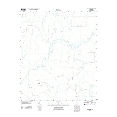
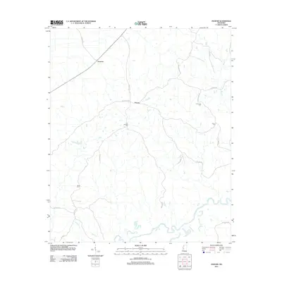
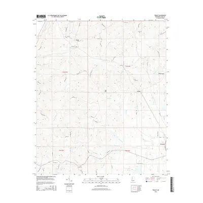
1940 Mechanicsburg
Yazoo County, MS
1961 Bayland
Yazoo County, MS

1963 Mechanicsburg
Yazoo County, MS
1964 Linwood
Yazoo County, MS
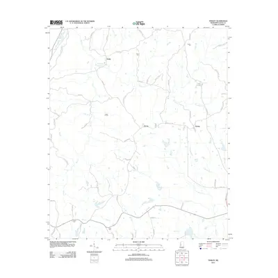
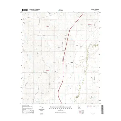
1964 Vaughan
Yazoo County, MS
1964 Zeiglerville
Yazoo County, MS
1966 Vaughan
Yazoo County, MS
1988 Bayland Se
Yazoo County, MS
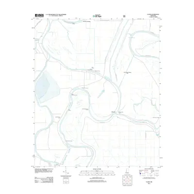
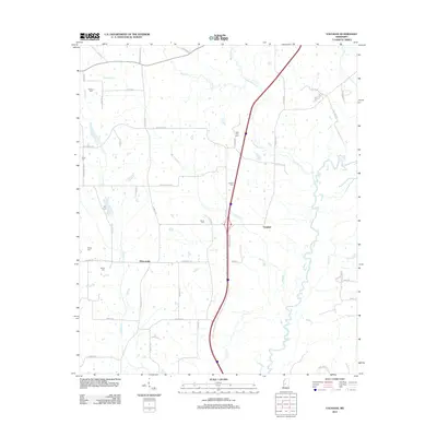
1988 Carter
Yazoo County, MS
1988 Coxs Ferry
Yazoo County, MS
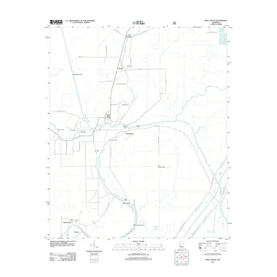
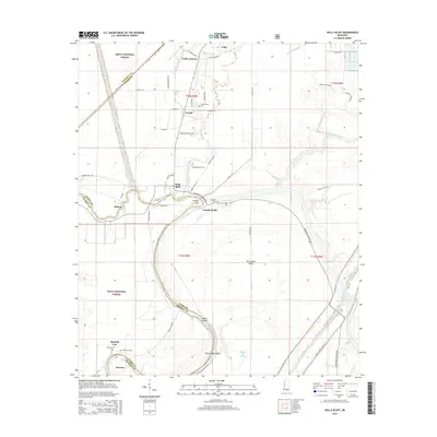
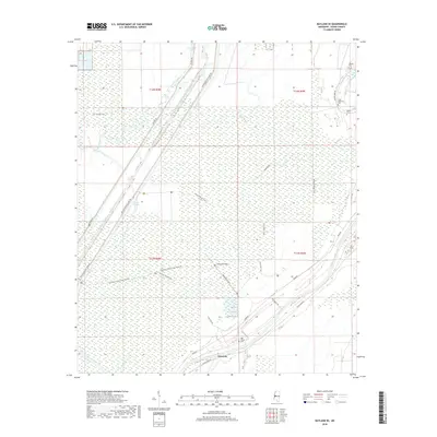
1988 Holly Bluff
Yazoo County, MS
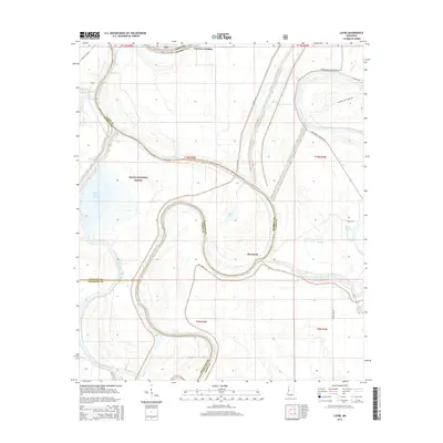
1988 Lucre
Yazoo County, MS
1988 Phoenix
Yazoo County, MS
1988 Tinsley
Yazoo County, MS
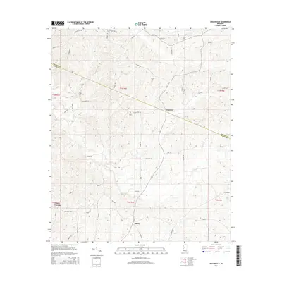
1989 Berryville
Yazoo County, MS
2000 Holly Bluff
Yazoo County, MS
2000 Lucre
Yazoo County, MS
2012 Bayland SE
Yazoo County, MS
2012 Berryville
Yazoo County, MS
2012 Carter
Yazoo County, MS
2012 Coxs Ferry
Yazoo County, MS
2012 Holly Bluff
Yazoo County, MS
2012 Linwood
Yazoo County, MS
2012 Lucre
Yazoo County, MS
2012 Phoenix
Yazoo County, MS
2012 Tinsley
Yazoo County, MS
2012 Vaughan
Yazoo County, MS
2012 Zeiglerville
Yazoo County, MS
2015 Bayland SE
Yazoo County, MS
2015 Berryville
Yazoo County, MS
2015 Carter
Yazoo County, MS
2015 Coxs Ferry
Yazoo County, MS
2015 Holly Bluff
Yazoo County, MS
2015 Linwood
Yazoo County, MS
2015 Lucre
Yazoo County, MS
2015 Phoenix
Yazoo County, MS
2015 Tinsley
Yazoo County, MS
2015 Vaughan
Yazoo County, MS
2015 Zeiglerville
Yazoo County, MS
2018 Bayland SE
Yazoo County, MS
2018 Berryville
Yazoo County, MS
2018 Carter
Yazoo County, MS
2018 Coxs Ferry
Yazoo County, MS

2018 Holly Bluff
Yazoo County, MS
2018 Linwood
Yazoo County, MS
2018 Lucre
Yazoo County, MS
2018 Phoenix
Yazoo County, MS
2018 Tinsley
Yazoo County, MS
2018 Vaughan
Yazoo County, MS
2018 Zeiglerville
Yazoo County, MS
2020 Bayland SE
Yazoo County, MS
2020 Berryville
Yazoo County, MS
2020 Carter
Yazoo County, MS
2020 Coxs Ferry
Yazoo County, MS
2020 Linwood
Yazoo County, MS
2020 Phoenix
Yazoo County, MS
2020 Tinsley
Yazoo County, MS
2020 Vaughan
Yazoo County, MS
2020 Zeiglerville
Yazoo County, MS
2021 Holly Bluff
Yazoo County, MS
2021 Lucre
Yazoo County, MS
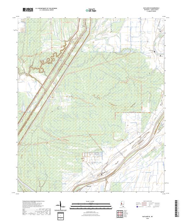
2024 Bayland SE
Yazoo County, MS
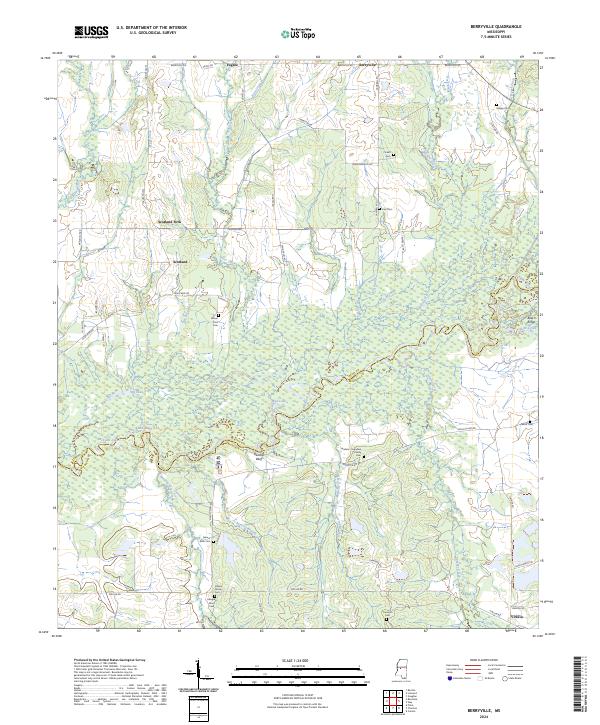
2024 Berryville
Yazoo County, MS
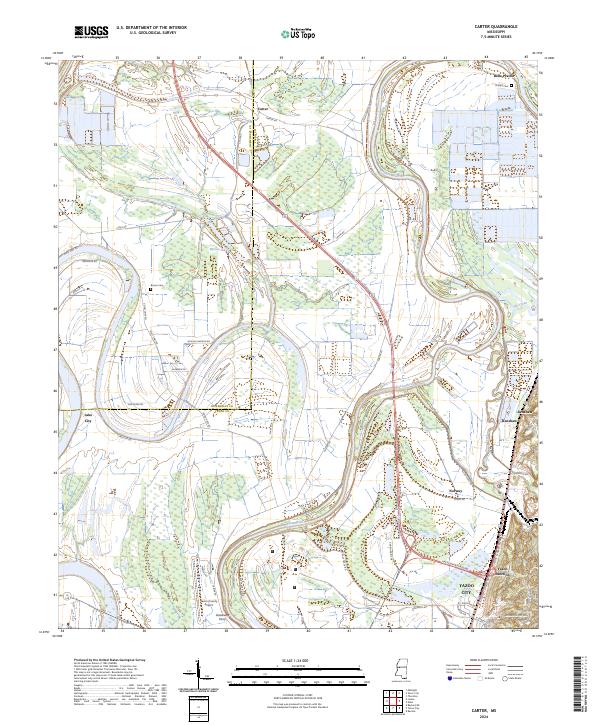
2024 Carter
Yazoo County, MS
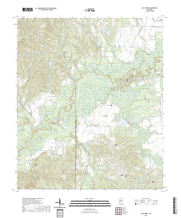
2024 Coxs Ferry
Yazoo County, MS
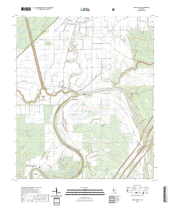
2024 Holly Bluff
Yazoo County, MS
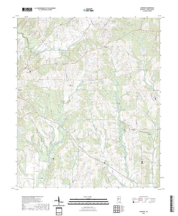
2024 Linwood
Yazoo County, MS
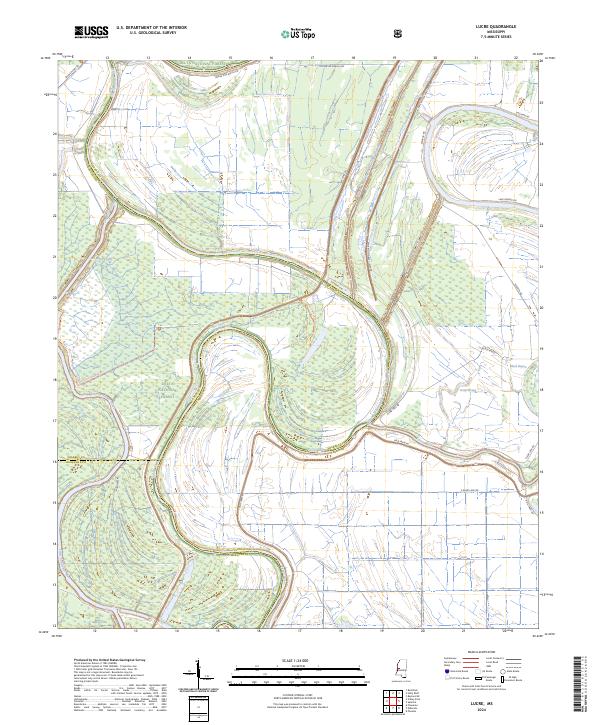
2024 Lucre
Yazoo County, MS
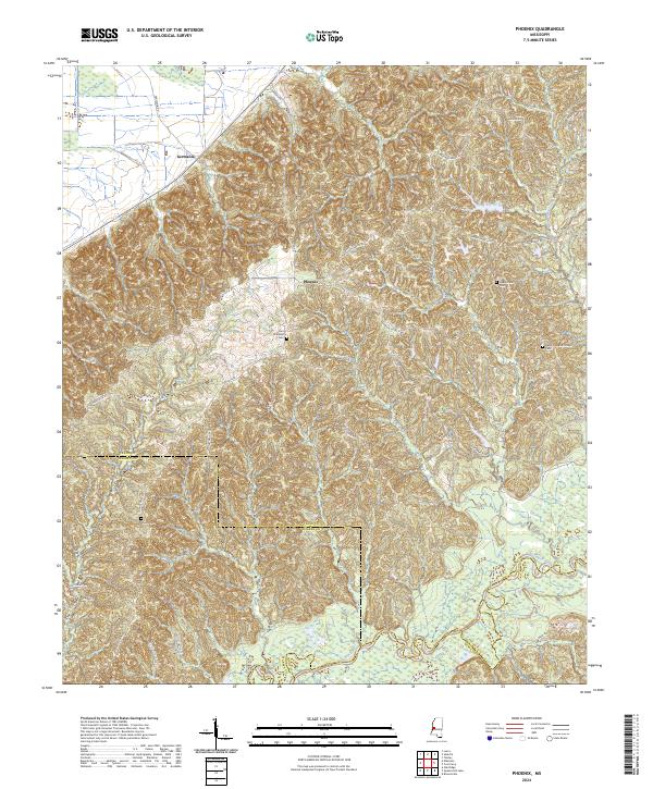
2024 Phoenix
Yazoo County, MS
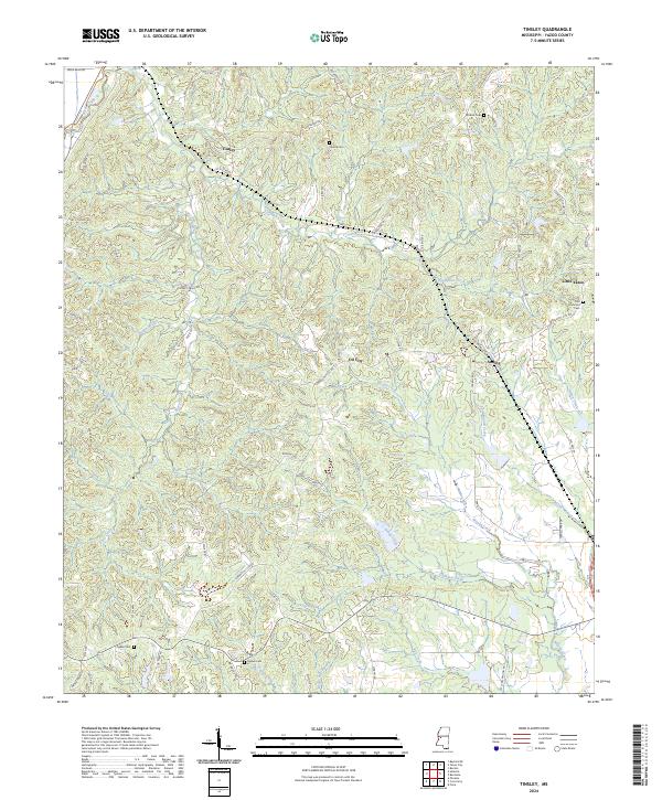
2024 Tinsley
Yazoo County, MS
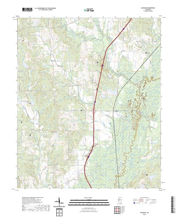
2024 Vaughan
Yazoo County, MS
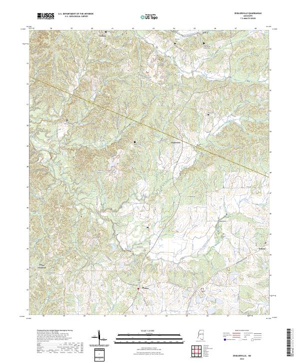
2024 Zeiglerville
Yazoo County, MS