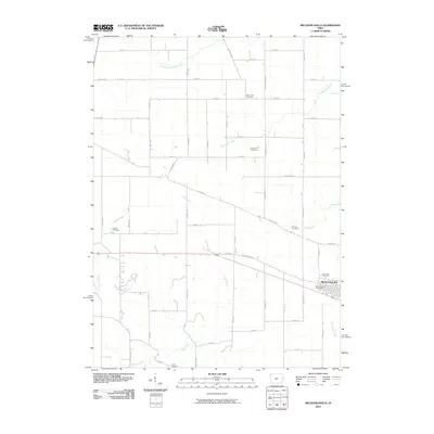
2010 Map of Mechanicsville
USGS Topo · Published 2010About this map
Mechanicsville serves as the primary hub of this eastern Iowa landscape, situated along the historic path of the Old Lincoln Hwy. The town center is anchored by the Mechanicsville Post Office, while the surrounding agricultural lands are defined by a grid of rural routes such as Cherry Grove Rd and Badger Rd. The topography is marked by a network of drainage systems, including the meandering Clear Creek and South Fork Walnut Creek, which carve through the farmland.
Find a feature on this map
49 named features on this map. Tap any name to fly to it.
Don’t see what you’re looking for? This feature index may not catch every label — zoom into the map to look around manually.
Map Details
Editions of this 2010 Mechanicsville Map
This is the sole edition of this map. No revisions or reprints were ever made.
Other maps of this area

1889 · Tipton
USGS Topo · 1:62,500

1890 · Tipton
USGS Topo · 1:62,500

1890 · Anamosa
USGS Topo · 1:62,500

1891 · Monticello
USGS Topo · 1:62,500

1891 · Mechanicsville
USGS Topo · 1:62,500

1894 · Mechanicsville
USGS Topo · 1:62,500

1900 · Anamosa
USGS Topo · 1:125,000

1901 · Stanwood
USGS Topo · 1:125,000

1958 · Davenport
USGS Topo · 1:250,000

1959 · Dubuque
USGS Topo · 1:250,000