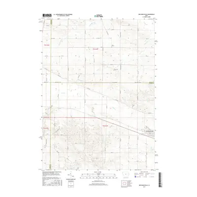
2015 Map of Mechanicsville
USGS Topo · Published 2015About this map
Mechanicsville anchors this eastern Iowa landscape at the convergence of several Cedar and Jones County townships. The town's grid is established south of the Rose Hill Cem, with the surrounding countryside divided into the traditional square-mile sections of the Public Land Survey System. This agricultural regularity is interrupted only by the winding paths of several waterways, including S Fork Walnut Cr in the north and W Rock Cr in the southeast. Numerous small family or community burial sites such as Andre Cem, White Oak Cem, and the Piper- Kohl Cem are scattered across the township lines, offering a preserved record of the area's rural heritage. The network of secondary roads, such as Co Hwy X4F and Co Rd X4F, connects these disparate farmsteads and points of interest to the central settlement.
Find a feature on this map
69 named features on this map. Tap any name to fly to it.
Don’t see what you’re looking for? This feature index may not catch every label — zoom into the map to look around manually.
Map Details
Editions of this 2015 Mechanicsville Map
This is the sole edition of this map. No revisions or reprints were ever made.
Other maps of this area

1889 · Tipton
USGS Topo · 1:62,500

1890 · Tipton
USGS Topo · 1:62,500

1890 · Anamosa
USGS Topo · 1:62,500

1891 · Monticello
USGS Topo · 1:62,500

1891 · Mechanicsville
USGS Topo · 1:62,500

1894 · Mechanicsville
USGS Topo · 1:62,500

1900 · Anamosa
USGS Topo · 1:125,000

1901 · Stanwood
USGS Topo · 1:125,000

1958 · Davenport
USGS Topo · 1:250,000

1959 · Dubuque
USGS Topo · 1:250,000