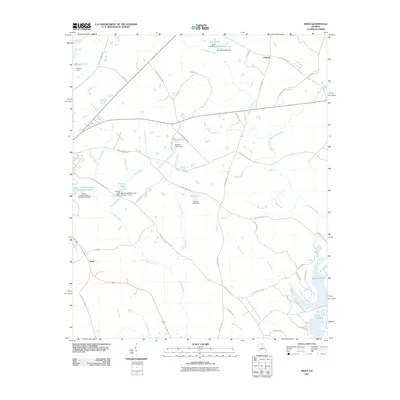
2011 Map of Meda
USGS Topo · Published 2011About this map
Phoenix and Meda anchor this Central Georgia landscape, where a sophisticated network of water management structures defines the terrain. The region is characterized by numerous dammed water bodies, including Ashurst Pond, Beall Lake, and the extensive Rooty Creek Structure Number Five Lake. These man-made features, alongside named dams such as Ashurst Dam and Beall Pond Dam Two, illustrate the engineering efforts to control the local watershed during the early 21st century.
Find a feature on this map
59 named features on this map. Tap any name to fly to it.
Don’t see what you’re looking for? This feature index may not catch every label — zoom into the map to look around manually.
Map Details
Editions of this 2011 Meda Map
This is the sole edition of this map. No revisions or reprints were ever made.
Other maps of this area

1912 · Milledgeville
USGS Topo · 1:62,500

1953 · Athens
USGS Topo · 1:250,000

1958 · Athens
USGS Topo · 1:250,000

1959 · Athens
USGS Topo · 1:250,000

1963 · Athens
USGS Topo · 1:250,000

1972 · Liberty
USGS Topo · 1:24,000

1972 · Meda
USGS Topo · 1:24,000

1972 · Eatonton
USGS Topo · 1:24,000

1972 · Harmony
USGS Topo · 1:24,000

1972 · Rock Eagle Lake
USGS Topo · 1:24,000