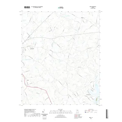
2020 Map of Meda
USGS Topo · Published 2020About this map
Eatonton serves as the focal point of this Putnam County landscape, where the transition from municipal streets to rural timberland and water resources is clearly defined. The southeastern corner is dominated by the northern reaches of Lake Sinclair, a significant reservoir that reshapes the local drainage patterns of Crooked Creek and Bay Branch. Inland, a network of smaller impoundments such as Rossee Lake, Dennis Lake, and Carnes Lake suggests a landscape managed for recreation and local water control. Smaller rural communities like Meda and Phoenix anchor the outlying areas, connected by historical routes like Greensboro Road and Wards Chapel Road. The terrain is defined by numerous watercourses, including Rooty Creek and Little Creek, which carve through the elevations near the Quail Knolls, reflecting the Piedmont's characteristic undulating topography and well-watered valleys.
Find a feature on this map
74 named features on this map. Tap any name to fly to it.
Don’t see what you’re looking for? This feature index may not catch every label — zoom into the map to look around manually.
Map Details
Editions of this 2020 Meda Map
This is the sole edition of this map. No revisions or reprints were ever made.
Other maps of this area

1912 · Milledgeville
USGS Topo · 1:62,500

1953 · Athens
USGS Topo · 1:250,000

1958 · Athens
USGS Topo · 1:250,000

1959 · Athens
USGS Topo · 1:250,000

1963 · Athens
USGS Topo · 1:250,000

1972 · Liberty
USGS Topo · 1:24,000

1972 · Meda
USGS Topo · 1:24,000

1972 · Eatonton
USGS Topo · 1:24,000

1972 · Harmony
USGS Topo · 1:24,000

1972 · Rock Eagle Lake
USGS Topo · 1:24,000