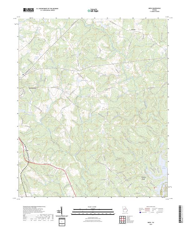
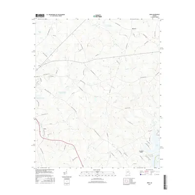
2024 Map of Meda
USGS Topo · Published 2024About this map
The southeastern edge of Eatonton serves as a gateway to the intricate network of creeks and small impoundments that define the Putnam County landscape. Central to this area is the eponymous settlement of Meda, situated along the BNSF Railway corridor. The geography is characterized by a high density of named water features, including the complex Rooty-Cr Structure Number Five Lake and the winding course of Turkey Creek, which eventually give way to the expansive waters of Lake Sinclair in the southeast.
Find a feature on this map
77 named features on this map. Tap any name to fly to it.
Don’t see what you’re looking for? This feature index may not catch every label — zoom into the map to look around manually.
Map Details
Editions of this 2024 Meda Map
This is the sole edition of this map. No revisions or reprints were ever made.
Historical Maps of Eatonton Through Time
36 maps found
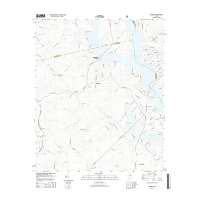
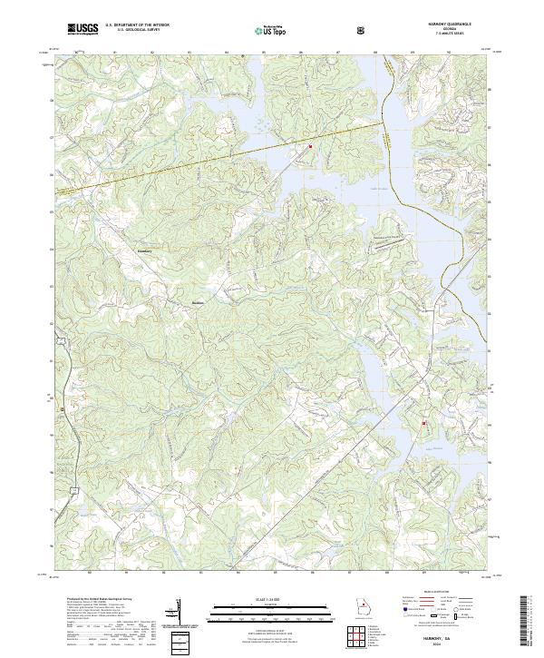
1972 Harmony
Putnam County, GA
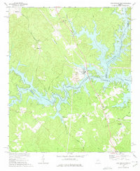
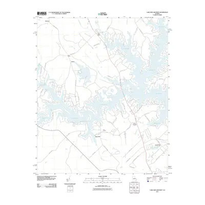
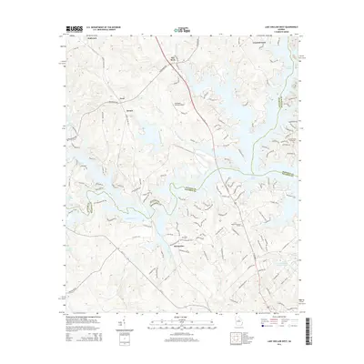
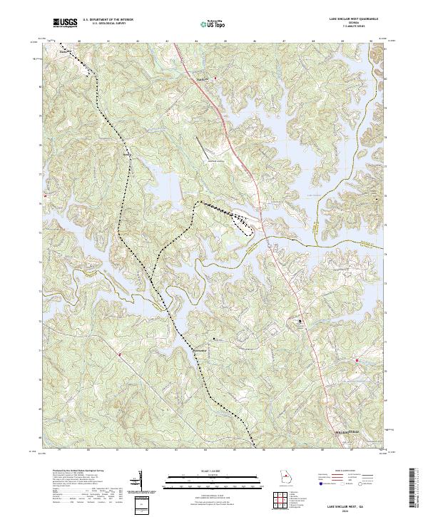
1972 Lake Sinclair West
Putnam County, GA
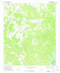
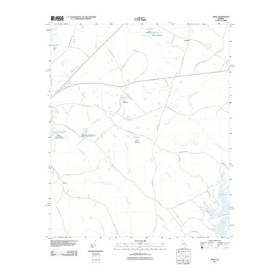
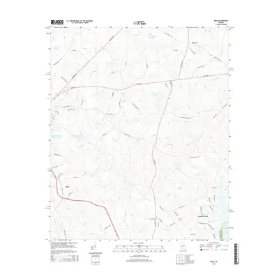
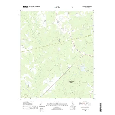
1972 Meda
Putnam County, GA
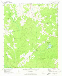
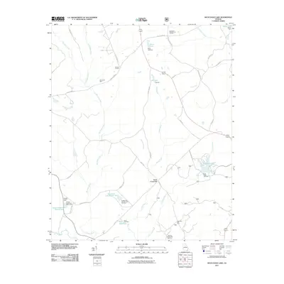
1972 Rock Eagle Lake
Putnam County, GA
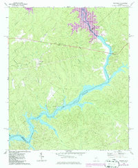
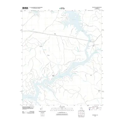
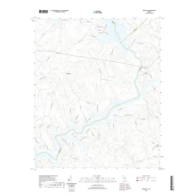
1972 Rockville
Putnam County, GA
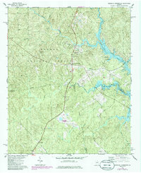
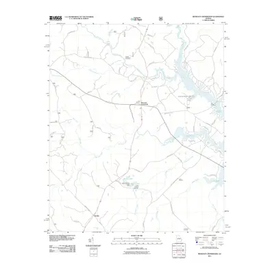
1978 Resseaus Crossroads
Putnam County, GA
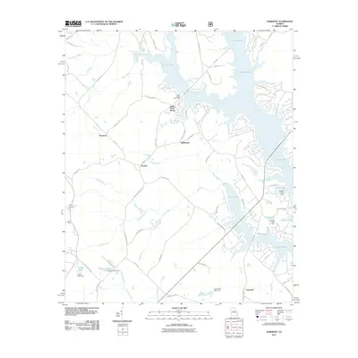
2011 Harmony
Putnam County, GA
2011 Lake Sinclair West
Putnam County, GA
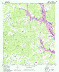
2011 Meda
Putnam County, GA
2011 Resseaus Crossroads
Putnam County, GA
2011 Rock Eagle Lake
Putnam County, GA
2011 Rockville
Putnam County, GA
2014 Harmony
Putnam County, GA
2014 Lake Sinclair West
Putnam County, GA
2014 Meda
Putnam County, GA
2014 Resseaus Crossroads
Putnam County, GA
2014 Rock Eagle Lake
Putnam County, GA
2014 Rockville
Putnam County, GA

2017 Harmony
Putnam County, GA
2017 Lake Sinclair West
Putnam County, GA
2017 Meda
Putnam County, GA
2017 Resseaus Crossroads
Putnam County, GA
2017 Rock Eagle Lake
Putnam County, GA
2017 Rockville
Putnam County, GA
2020 Harmony
Putnam County, GA
2020 Lake Sinclair West
Putnam County, GA
2020 Meda
Putnam County, GA
2020 Resseaus Crossroads
Putnam County, GA
2020 Rock Eagle Lake
Putnam County, GA
2020 Rockville
Putnam County, GA
2024 Harmony
Putnam County, GA
2024 Lake Sinclair West
Putnam County, GA
2024 Meda
Putnam County, GA
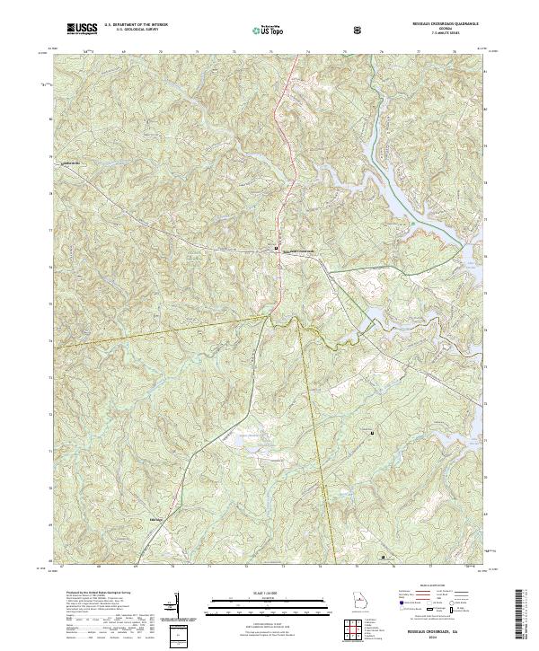
2024 Resseaus Crossroads
Putnam County, GA
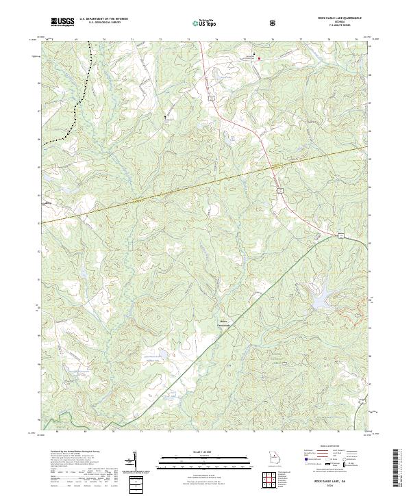
2024 Rock Eagle Lake
Putnam County, GA
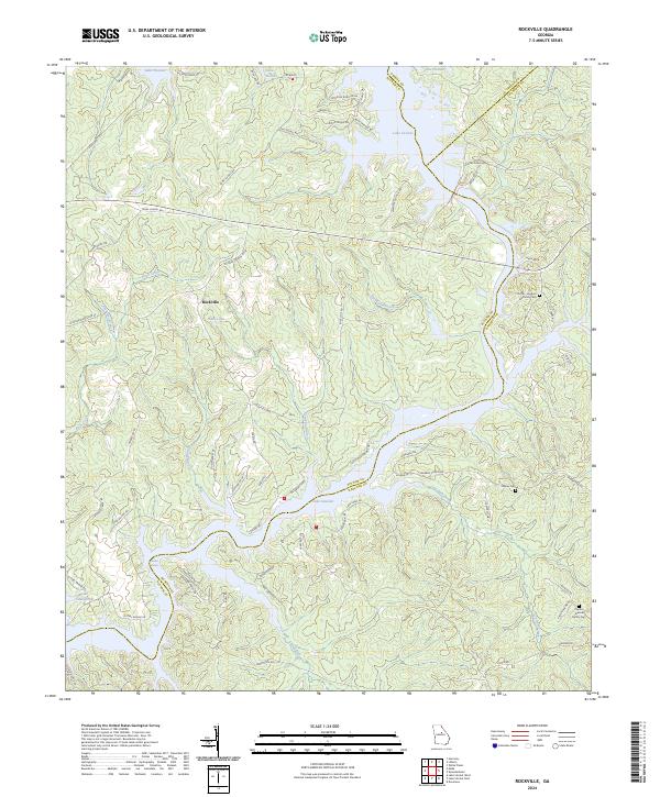
2024 Rockville
Putnam County, GA