
1972 Map of Meda
USGS Topo · Published 1974About this map
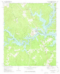
The small settlement of Meda and the eastern outskirts of Eatonton define this rural landscape in Putnam County during the early 1970s. This territory is characterized by a dense network of country churches that served the agricultural community, including Philadelphia Ch, Wesley Chapel, and Texas Ch. The terrain is carved by numerous watercourses such as Rooty Creek and Crooked Creek, which flow toward the southeastern corner of the map where the shoreline of Lake Sinclair begins to take shape at the border of Putnam Co and Hancock Co.
Find a feature on this map
33 named features on this map. Tap any name to fly to it.
Don’t see what you’re looking for? This feature index may not catch every label — zoom into the map to look around manually.
Map Details
Editions of this 1972 Meda Map
This is the sole edition of this map. No revisions or reprints were ever made.
Other maps of this area

1912 · Milledgeville
USGS Topo · 1:62,500

1953 · Athens
USGS Topo · 1:250,000

1958 · Athens
USGS Topo · 1:250,000

1959 · Athens
USGS Topo · 1:250,000

1963 · Athens
USGS Topo · 1:250,000

1972 · Liberty
USGS Topo · 1:24,000

1972 · Eatonton
USGS Topo · 1:24,000

1972 · Harmony
USGS Topo · 1:24,000

1972 · Rock Eagle Lake
USGS Topo · 1:24,000
1972 · Lake Sinclair West
USGS Topo · 1:24,000