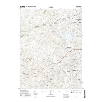
2016 Map of Media
USGS Topo · Published 2016About this map
Springton Reservoir dominates the eastern central landscape, a large water body surrounded by the maturing suburban corridors of Newtown Square and Marple. The map reveals a dense network of suburban development intertwined with institutional landmarks, including the Pennsylvania State University-Brandywine campus near Lima and the Pennsylvania Institute of Technology in South Media. Historical continuity is visible through numerous named cemeteries such as Cumberland Cem and Media Cem, which serve as anchors for local genealogy and land-use studies.
Find a feature on this map
318 named features on this map. Tap any name to fly to it.
Don’t see what you’re looking for? This feature index may not catch every label — zoom into the map to look around manually.
Map Details
Editions of this 2016 Media Map
This is the sole edition of this map. No revisions or reprints were ever made.
Other maps of this area

1894 · Chester
USGS Topo · 1:62,500

1894 · Norristown
USGS Topo · 1:62,500

1895 · Norristown
USGS Topo · 1:62,500

1896 · Norristown
USGS Topo · 1:62,500

1896 · Chester
USGS Topo · 1:62,500

1898 · Chester
USGS Topo · 1:62,500

1901 · Camden
USGS Topo · 1:125,000

1901 · West Chester
USGS Topo · 1:62,500

1904 · West Chester
USGS Topo · 1:62,500

1906 · Phoenixville
USGS Topo · 1:62,500
Featured Places
- Chester, PA
- Radnor Township, PA
- Marple Township, PA
- Upper Providence Township, PA
- Willistown Township, PA