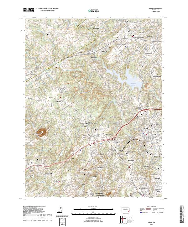
2023 Map of Media
USGS Topo · Published 2023About this map
Crum Creek and Ridley Creek carve through this landscape of suburban communities and preserved historical sites west of Philadelphia. The area is defined by its deep Quaker roots, visible through sites like the Newtown Square Friends Meeting House Burial Ground and the Willistown Friends Cem. This survey illustrates the transition from the industrial past at Sycamore Mills to modern institutional footprints, including Penn State University Brandywine and the Williamson College of the Trades.
Find a feature on this map
118 named features on this map. Tap any name to fly to it.
Don’t see what you’re looking for? This feature index may not catch every label — zoom into the map to look around manually.
Map Details
Editions of this 2023 Media Map
This is the sole edition of this map. No revisions or reprints were ever made.
Other maps of this area

1894 · Chester
USGS Topo · 1:62,500

1894 · Norristown
USGS Topo · 1:62,500

1895 · Norristown
USGS Topo · 1:62,500

1896 · Norristown
USGS Topo · 1:62,500

1896 · Chester
USGS Topo · 1:62,500

1898 · Chester
USGS Topo · 1:62,500

1901 · Camden
USGS Topo · 1:125,000

1901 · West Chester
USGS Topo · 1:62,500

1904 · West Chester
USGS Topo · 1:62,500

1906 · Phoenixville
USGS Topo · 1:62,500
Featured Places
- Chester, PA
- Radnor Township, PA
- Marple Township, PA
- Upper Providence Township, PA
- Willistown Township, PA