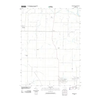
2010 Map of Mediapolis
USGS Topo · Published 2010About this map
Mediapolis serves as the primary hub of this eastern Iowa landscape, situated along a network of section-line roads and drainage basins near the Iowa River. The settlement pattern here is defined by small, dispersed communities like Kossuth, Newport, and Garland, which remain connected by established routes such as Iowa City Rd and Mediapolis Rd. This area maintains a strong connection to its pioneer and religious roots, evidenced by numerous burial grounds including the Sharon Reformed Presbyterian Cemetery, Bethel Cemetery, and the Covenanter Cemetery.
Find a feature on this map
34 named features on this map. Tap any name to fly to it.
Don’t see what you’re looking for? This feature index may not catch every label — zoom into the map to look around manually.
Map Details
Editions of this 2010 Mediapolis Map
This is the sole edition of this map. No revisions or reprints were ever made.
Other maps of this area

1934 · Burlington
USGS Topo · 1:48,000

1940 · Burlington
USGS Topo · 1:62,500

1946 · Wapello
USGS Topo · 1:62,500

1949 · Wapello
USGS Topo · 1:62,500

1953 · Toolesboro
USGS Topo · 1:24,000

1958 · Burlington
USGS Topo · 1:250,000

1958 · Davenport
USGS Topo · 1:250,000

1961 · Burlington
USGS Topo · 1:250,000

1961 · Davenport
USGS Topo · 1:250,000

1962 · Davenport
USGS Topo · 1:250,000