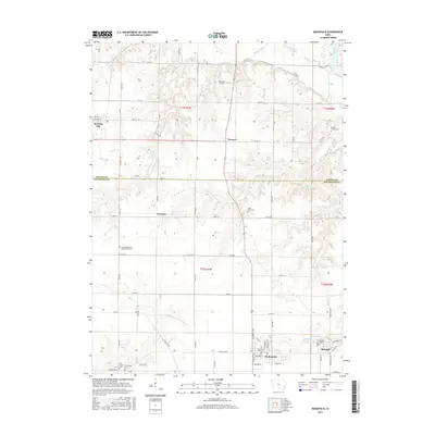
2015 Map of Mediapolis
USGS Topo · Published 2015About this map
The Iowa River valley defines the eastern edge of this landscape where the borders of Louisa and Des Moines counties meet. The settlement of Mediapolis anchors the southern portion of the sheet, characterized by a structured grid of streets including Main St and Huron St. Nearby, the community of Kossuth remains a notable point of interest for local historians, situated along Mediapolis Rd near the Kossuth Cem.
Find a feature on this map
50 named features on this map. Tap any name to fly to it.
Don’t see what you’re looking for? This feature index may not catch every label — zoom into the map to look around manually.
Map Details
Editions of this 2015 Mediapolis Map
This is the sole edition of this map. No revisions or reprints were ever made.
Other maps of this area

1934 · Burlington
USGS Topo · 1:48,000

1940 · Burlington
USGS Topo · 1:62,500

1946 · Wapello
USGS Topo · 1:62,500

1949 · Wapello
USGS Topo · 1:62,500

1953 · Toolesboro
USGS Topo · 1:24,000

1958 · Burlington
USGS Topo · 1:250,000

1958 · Davenport
USGS Topo · 1:250,000

1961 · Burlington
USGS Topo · 1:250,000

1961 · Davenport
USGS Topo · 1:250,000

1962 · Davenport
USGS Topo · 1:250,000