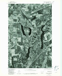
1943 Map of Medical Lake
USGS Topo · Published 1943About this map
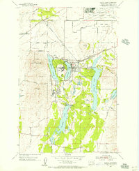
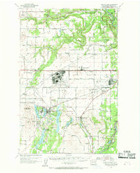
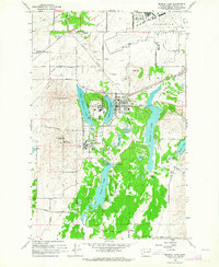
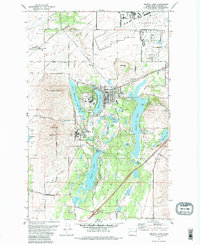
Medical Lake serves as a central hub for this early 1940s landscape, which is characterized by a high concentration of institutional and community landmarks. The area southwest of Spokane features significant local infrastructure, including the Eastern Washington State Hospital for Insane and the State Custodial School, illustrating the region's historical role in public health and social services. A dense network of rural schools and community centers, such as Spring Hill Grange, Indian Prairie Sch, and Sunset Sch, is scattered among the small settlements of Galena, Espanola, and Deep Creek.
Find a feature on this map
48 named features on this map. Tap any name to fly to it.
Don’t see what you’re looking for? This feature index may not catch every label — zoom into the map to look around manually.
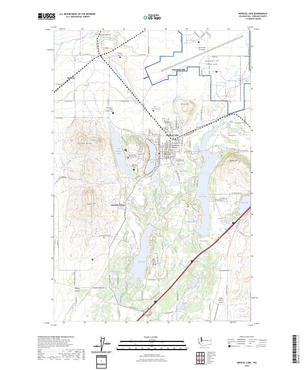
Map Details
Editions of this 1943 Medical Lake Map
This is the sole edition of this map. No revisions or reprints were ever made.
Historical Maps of Spokane County Through Time
7 maps found