Loading...
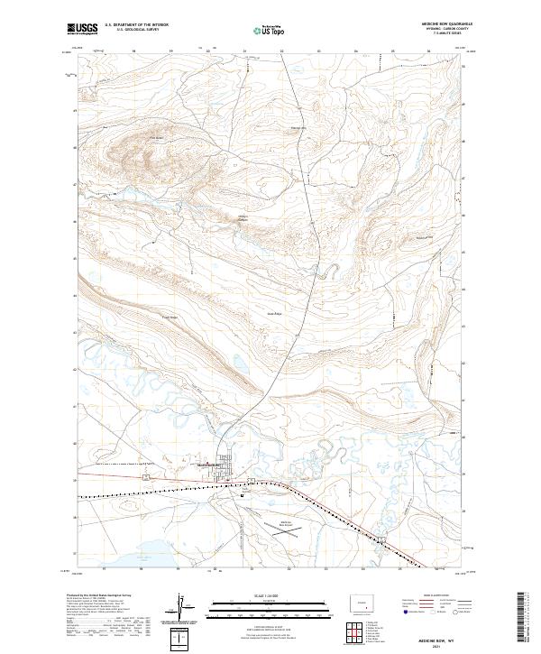
Loading map...2021 Map of Medicine Bow
USGS Topo · Published 2021About this map
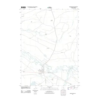
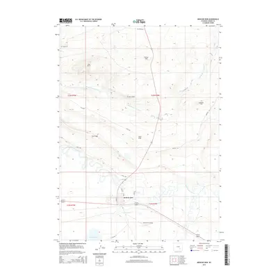
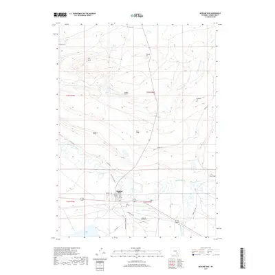
Medicine Bow serves as the focal point of this Carbon County landscape, situated where the Medicine Bow River and Rock Creek converge. The town's layout is clearly defined by a grid of streets including Maple St, Pine St, and Utah St, while the Medicine Bow Airport and Trails End Cem lie just to the southeast. This area reflects a classic Wyoming transition between river valley ranching and the high desert ridges that flank the watercourses.
Find a feature on this map
33 named features on this map. Tap any name to fly to it.
Don’t see what you’re looking for? This feature index may not catch every label — zoom into the map to look around manually.
Map Details
Date Portrayed2021
Date Published2021
PublisherU.S. Geological Survey
Map TypeTopographic
Scale1:24,000
Physical Dimensions24 x 29 inches
Editions of this 2021 Medicine Bow Map
This is the sole edition of this map. No revisions or reprints were ever made.
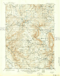
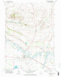
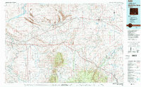
Historical Maps of Medicine Bow Through Time
8 maps found

Featured Locations
Source Details
SourceU.S. Geological Survey
CopyrightPublic Domain