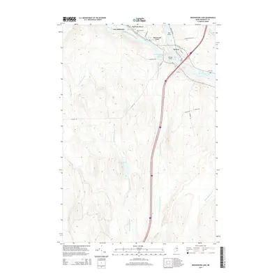
2014 Map of Medunkeunk Lake
USGS Topo · Published 2014About this map
Medunkeunk Lake and its surrounding wetlands form the center of this landscape in the Maine woods, just south of the junction where the West Branch Penobscot River meets the main channel. The settlement of Medway sits at this confluence, showing a residential layout that includes Silverwood Court and Oak Park Manor. The river is marked by industrial and natural landmarks, including the West Branch Penobscot River Reservoir and Nicatou Island. Genealogists will find several burial grounds documented near the riverbanks, specifically the East Millinocket Cem, Fiske Cem, and Lynch Cem. This survey illustrates the modern transportation corridor where Turnpike Rd cuts north through the timberland of Penobscot County toward East Millinocket.
Find a feature on this map
31 named features on this map. Tap any name to fly to it.
Don’t see what you’re looking for? This feature index may not catch every label — zoom into the map to look around manually.
Map Details
Editions of this 2014 Medunkeunk Lake Map
This is the sole edition of this map. No revisions or reprints were ever made.
Other maps of this area

1920 · Winn
USGS Topo · 1:62,500

1940 · Mattawamkeag
USGS Topo · 1:62,500

1942 · Lincoln
USGS Topo · 1:62,500

1942 · Mattawamkeag
USGS Topo · 1:62,500

1951 · Millinocket
USGS Topo · 1:62,500

1954 · Millinocket
USGS Topo · 1:250,000

1957 · Lincoln
USGS Topo · 1:62,500

1958 · Millinocket
USGS Topo · 1:250,000

1960 · Millinocket
USGS Topo · 1:250,000
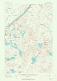
1960 · Winn
USGS Topo · 1:62,500