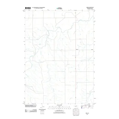
2011 Map of Meek
USGS Topo · Published 2011About this map
Meek and Midway sit within a landscape defined by an extensive network of north-flowing waterways in this Holt County survey. The drainage pattern is led by Eagle Creek, which winds across the northern half of the quadrangle, joined by the smaller reaches of Honey Creek and Camp Creek further south. The map reflects a rural Nebraska agricultural grid, where section lines are strictly maintained by local routes like 490th Ave and 889th Rd.
Find a feature on this map
10 named features on this map. Tap any name to fly to it.
Don’t see what you’re looking for? This feature index may not catch every label — zoom into the map to look around manually.
Map Details
Editions of this 2011 Meek Map
This is the sole edition of this map. No revisions or reprints were ever made.
Other maps of this area

1951 · Bristow
USGS Topo · 1:24,000

1952 · Spencer South
USGS Topo · 1:24,000

1952 · Butte SE
USGS Topo · 1:24,000

1954 · Atkinson SE
USGS Topo · 1:24,000

1954 · Meek NE
USGS Topo · 1:24,000

1954 · Opportunity
USGS Topo · 1:24,000

1954 · Meek SW
USGS Topo · 1:24,000

1954 · Meek
USGS Topo · 1:24,000

1954 · Atkinson NE
USGS Topo · 1:24,000

1955 · O'Neill
USGS Topo · 1:250,000