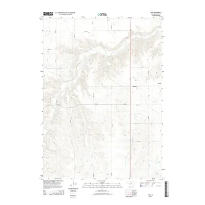
2014 Map of Meek
USGS Topo · Published 2014About this map
Eagle Cr and its numerous tributaries carve a deep, branching drainage system across this section of Holt County, defining a landscape of high ridges and narrow valleys. This topographic study captures the rural character of the region as it appeared in the early 21st century, dominated by a sparse network of section-line roads such as 891st Rd and 887th Rd. The small settlements of Meek and Midway serve as the primary landmarks in an otherwise agricultural expanse, situated along the eastern edge of the quadrangle. The map reveals the intricate hydrology of the area, where Honey Cr, Oak Cr, and Camp Cr feed into the larger waterway system, illustrating the natural erosion patterns that have shaped this portion of the Nebraska plains.
Find a feature on this map
14 named features on this map. Tap any name to fly to it.
Don’t see what you’re looking for? This feature index may not catch every label — zoom into the map to look around manually.
Map Details
Editions of this 2014 Meek Map
This is the sole edition of this map. No revisions or reprints were ever made.
Other maps of this area

1951 · Bristow
USGS Topo · 1:24,000

1952 · Spencer South
USGS Topo · 1:24,000

1952 · Butte SE
USGS Topo · 1:24,000

1954 · Atkinson SE
USGS Topo · 1:24,000

1954 · Meek NE
USGS Topo · 1:24,000

1954 · Opportunity
USGS Topo · 1:24,000

1954 · Meek SW
USGS Topo · 1:24,000

1954 · Meek
USGS Topo · 1:24,000

1954 · Atkinson NE
USGS Topo · 1:24,000

1955 · O'Neill
USGS Topo · 1:250,000