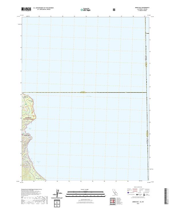
2021 Map of Meeks Bay
USGS Topo · Published 2021About this map
Lake Tahoe dominates this survey, with the western shoreline of El Dorado County and Placer County revealed through a thin strip of terrestrial detail. The landscape is defined by the steep transition from the water's edge into the protected lands of the Eldorado National Forest, where the General Creek Trail follows the path of General Creek into the interior. Small residential clusters and recreational areas are anchored by Emerald Bay Road, which serves as the primary artery connecting the various waterfront enclaves.
Find a feature on this map
27 named features on this map. Tap any name to fly to it.
Don’t see what you’re looking for? This feature index may not catch every label — zoom into the map to look around manually.
Map Details
Editions of this 2021 Meeks Bay Map
This is the sole edition of this map. No revisions or reprints were ever made.
Other maps of this area

1889 · Pyramid Peak
USGS Topo · 1:125,000

1889 · Markleeville
USGS Topo · 1:125,000

1891 · Carson
USGS Topo · 1:125,000

1891 · Markleeville
USGS Topo · 1:125,000

1891 · Truckee
USGS Topo · 1:125,000

1891 · Pyramid Peak
USGS Topo · 1:125,000

1893 · Carson
USGS Topo · 1:125,000

1893 · Markleeville
USGS Topo · 1:125,000

1893 · Truckee
USGS Topo · 1:125,000

1895 · Pyramid Peak
USGS Topo · 1:125,000