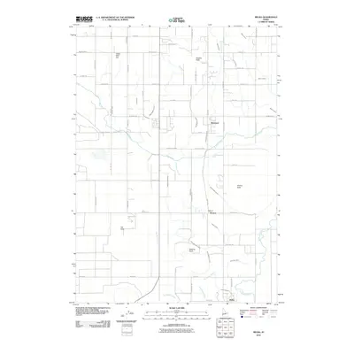
2010 Map of Melba
USGS Topo · Published 2010About this map
Melba anchors the southern portion of this Idaho landscape, which by 2010 had developed into a sophisticated irrigation-driven agricultural district in Canyon County. The terrain is defined by a dense web of water management features, including the prominent Mora Canal and Waldvogel Canal, which draw from larger systems to support the surrounding fields. These canals, along with laterals like the Hat Butte Lateral and Bennett Lateral, carve through a landscape interrupted only by volcanic rises such as Madden Butte, Powers Butte, and Hat Butte.
Find a feature on this map
66 named features on this map. Tap any name to fly to it.
Don’t see what you’re looking for? This feature index may not catch every label — zoom into the map to look around manually.
Map Details
Editions of this 2010 Melba Map
This is the sole edition of this map. No revisions or reprints were ever made.
Other maps of this area

1892 · Boise
USGS Topo · 1:125,000

1892 · Bisuka
USGS Topo · 1:125,000

1892 · Silver City
USGS Topo · 1:125,000

1894 · Bisuka
USGS Topo · 1:125,000

1894 · Silver City
USGS Topo · 1:125,000

1897 · Boise
USGS Topo · 1:125,000

1898 · Nampa
USGS Topo · 1:125,000

1898 · Silver City
USGS Topo · 1:125,000

1953 · Meridian
USGS Topo · 1:24,000

1955 · Boise
USGS Topo · 1:250,000