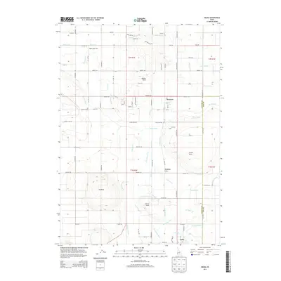
2013 Map of Melba
USGS Topo · Published 2013About this map
Melba and the surrounding agricultural landscapes of Canyon and Ada counties are defined by a complex network of irrigation infrastructure and volcanic terrain. In the early 21st century, the area displays a reliance on water management, with the Mora Canal and Waldvogel Canal feeding a dense grid of laterals and drains like the Brooks Lateral and Coe Lateral. This systematic layout supports the small communities of Bowmont and Westma, which are situated amidst the flat valley floors of Upper Deer Flat.
Find a feature on this map
90 named features on this map. Tap any name to fly to it.
Don’t see what you’re looking for? This feature index may not catch every label — zoom into the map to look around manually.
Map Details
Editions of this 2013 Melba Map
This is the sole edition of this map. No revisions or reprints were ever made.
Other maps of this area

1892 · Boise
USGS Topo · 1:125,000

1892 · Bisuka
USGS Topo · 1:125,000

1892 · Silver City
USGS Topo · 1:125,000

1894 · Bisuka
USGS Topo · 1:125,000

1894 · Silver City
USGS Topo · 1:125,000

1897 · Boise
USGS Topo · 1:125,000

1898 · Nampa
USGS Topo · 1:125,000

1898 · Silver City
USGS Topo · 1:125,000

1953 · Meridian
USGS Topo · 1:24,000

1955 · Boise
USGS Topo · 1:250,000